Book 3, Final Chapter 12 – Appalachian Trail – 100 Mile Wilderness/Monson to Katahdin, ME – July 30-August 12, 2024 – 114.9 miles
On August 11th, 2024 I finished my 11 year journey of backpacking the Appalachian Trail – a 2,200 mile long foot trail that runs from Georgia to Maine by summiting mighty Mt. Katahdin in Maine. I met so many wonderful people over the years, some of whom became not just hiking partners over 3,4, or more years, but wonderful friends. I hiked in rain, sleet, snow, sunshine, fog, and even 65 mph winds. I hiked in all 4 seasons – winter, spring, summer and fall. I’ve stayed in hostels that were nothing more than an old mountain motel to a historic inn where the underground railroad passed through. The terrain ran the gamut of smooth pine needle tread to rocky, rooty and muddy terrain. I climbed the highest peak on the AT on Clingman’s Dome – 6,643 ft. high, through the lowest point on the AT in New York at 124 ft. above sea level. I hiked through deep thick mossy forests, farmer’s fields, boulder fields and grassy balds. Slept in the woods by myself multiple times, saw several bear, deer, a porcupine, different types of squirrels, all kinds of birds, but the elusive moose only displayed it’s droppings for me to see, nothing more. I’ve drank out more streams, slept in more shelters & lean-to’s and availed myself of privies that ranged from nothing more than an open-air seat in the middle of the forest to brand new privies that were picture worthy! I have driven many miles, flown more, spent more dollars on gear, food, travel, lodging, clothing and even medical bills than I care to count. Have had more falls than I can count, including one that resulted in 2 big shiners and another time a broken fibula. Some may ask “why?” To solve my curiosity of course! We backpacked for 10 days straight, one day of rest, and then 2 more days before summiting Mt. Katahdin. This trip put us through the 100 Mile Wilderness where nothing more than the occasional logging road passes through. There was no civilization to be had except small engine planes from time to time. We past countless pristine ponds, that we would call lakes here in the south, with nothing but wildlife touching the crystal clear waters. It was definitely the hardest outing for me. Not only did we not have a shower for 7 days, but we carried a smell that was unbearable until we eventually became “nose blind” to it. Temps were in the high 80’s the first week, with unbearable humidity – nothing dried including my feet – hence resulting in horrid blisters – one each on the balls of both feet for almost the entire 2 weeks. I was miserable – unfortunately the pain took away from the joy of summiting and finishing the Trail – but finished I did none the less. My photography skills simply cannot capture the severity of the climb up and down Mt. Katahdin, nor the breath-taking beauty of our surroundings. Here is my last journey on the Appalachian Trail…
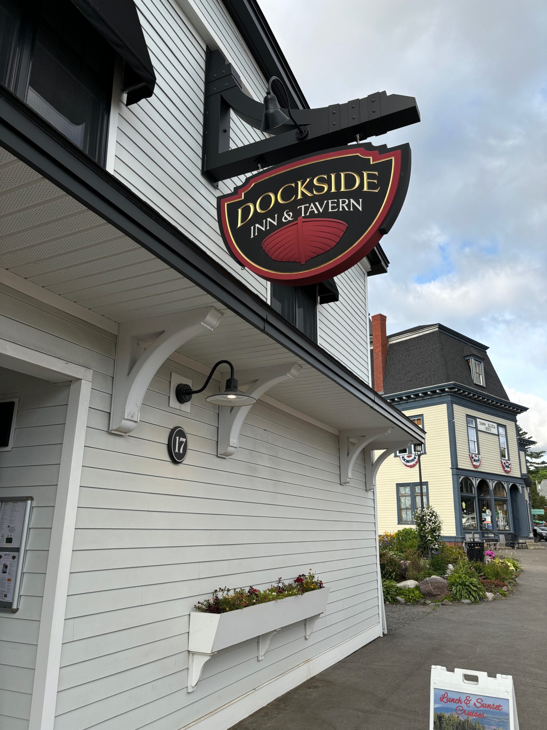
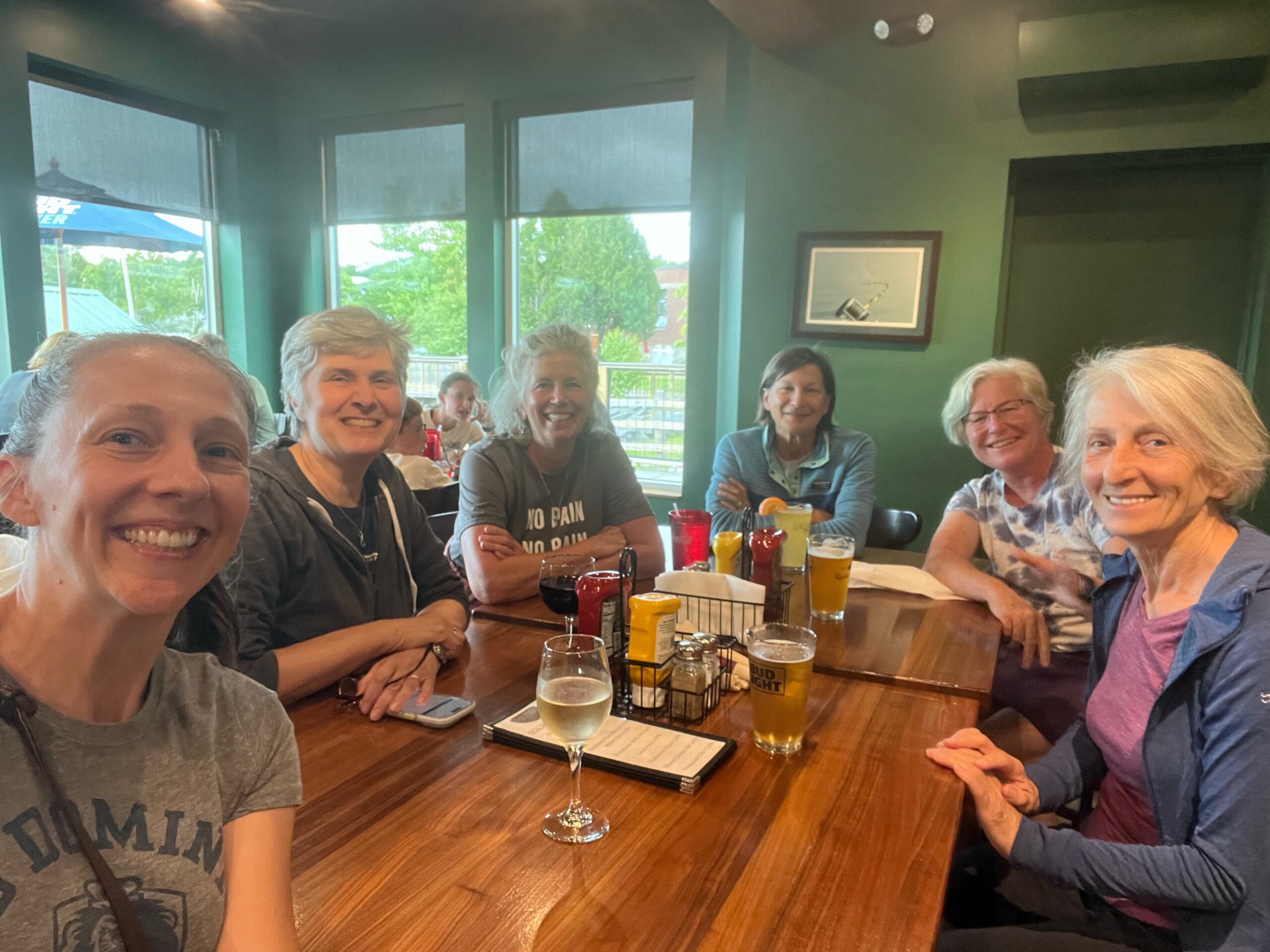
Kick off dinner at Dock Side Pub & Tavern in the neighboring town of Greenville.
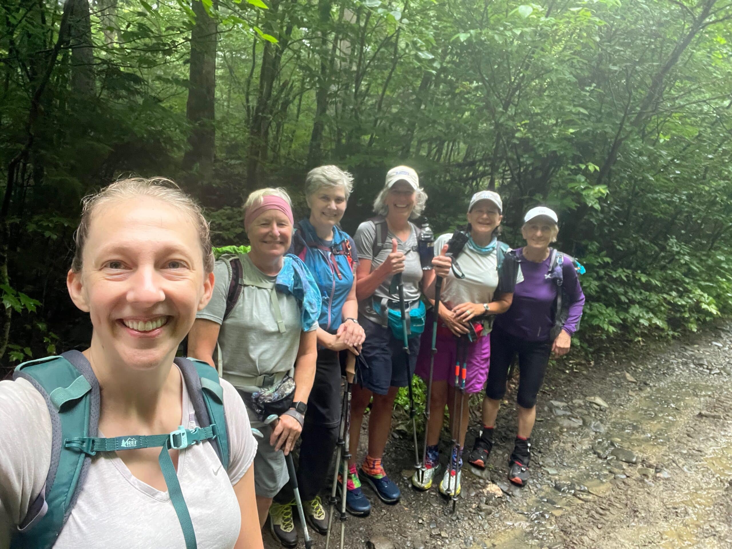
Bunch of fresh, happy, energized smiling faces ready to take on the world!
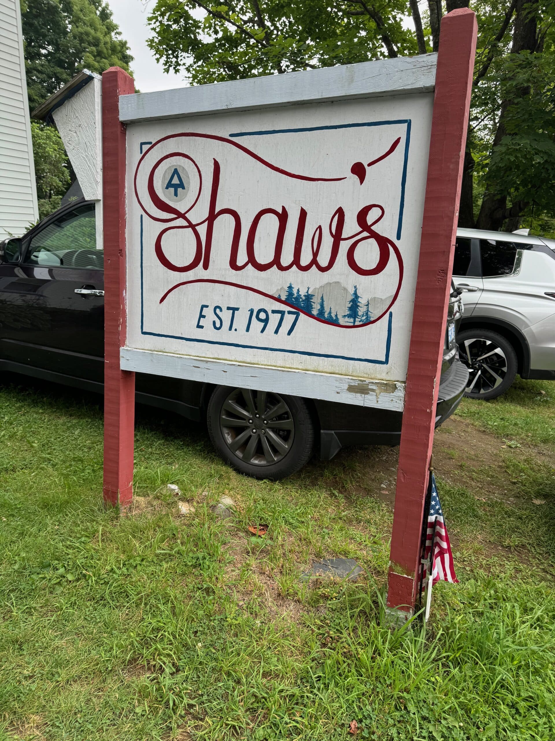
Shaw’s is a wonderful hiker hostel situated in Monson, ME and the beginning of the 100 Mile Wilderness. Their hospitality goes above and beyond — we finished our hike here last year, and are now picking up where we left off.
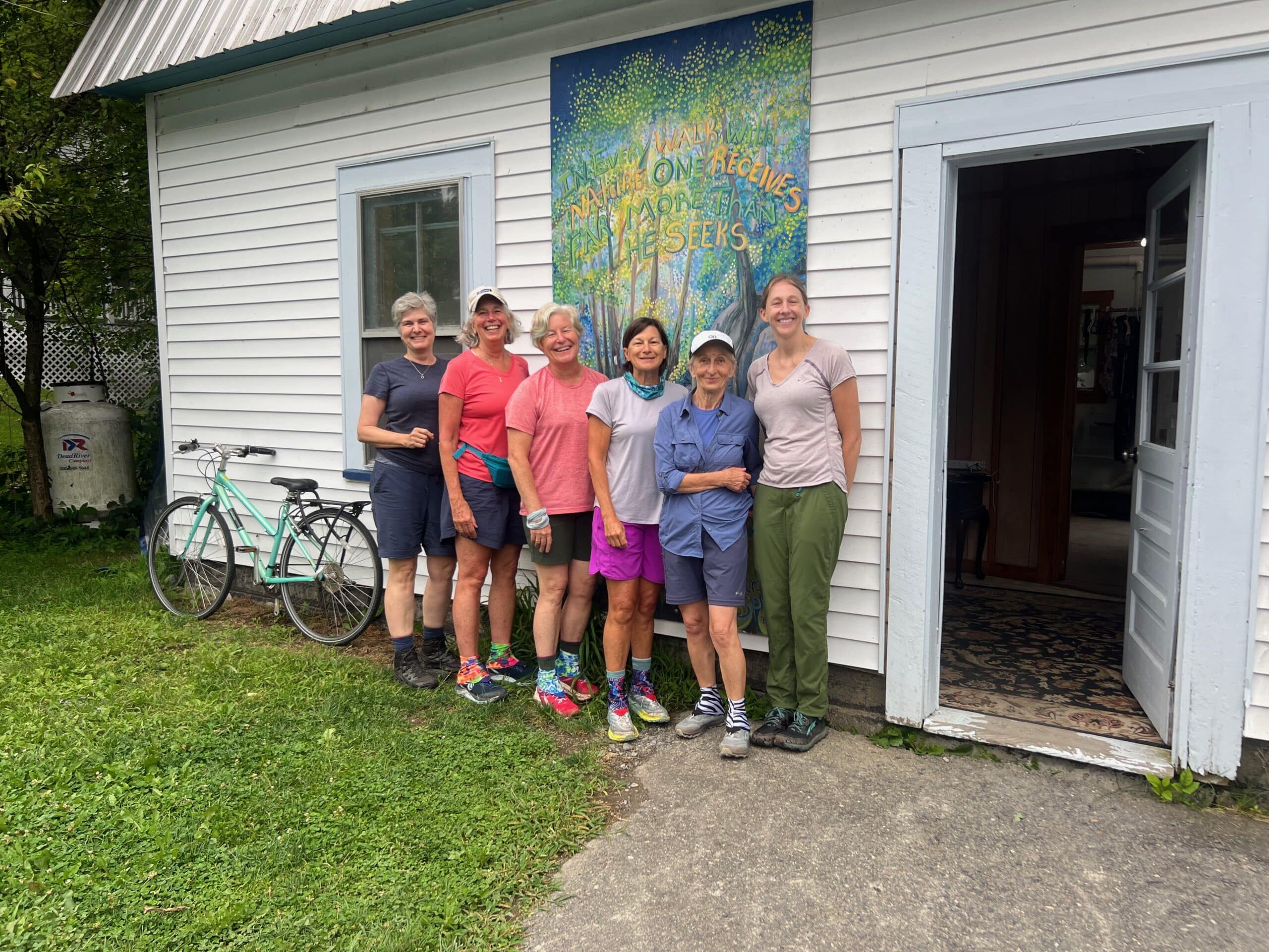
In front of one of the bunkhouses at Shaw’s
Day 1 – 11.1 miles – slackpacked this day meaning we only used our day packs and would head back to Shaw’s for one more night before hiking the rest
Beginning of the 100 Mile Wilderness
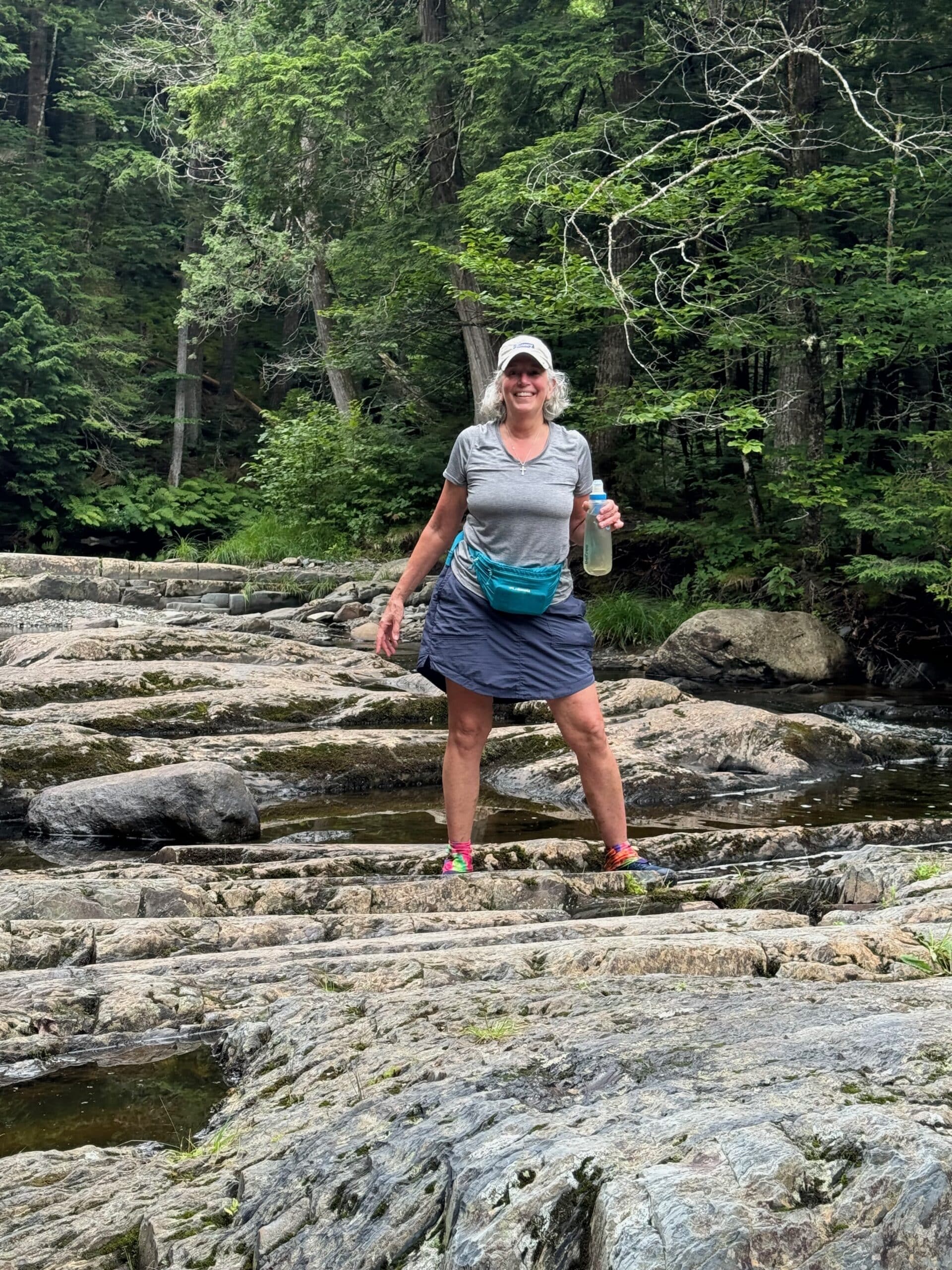
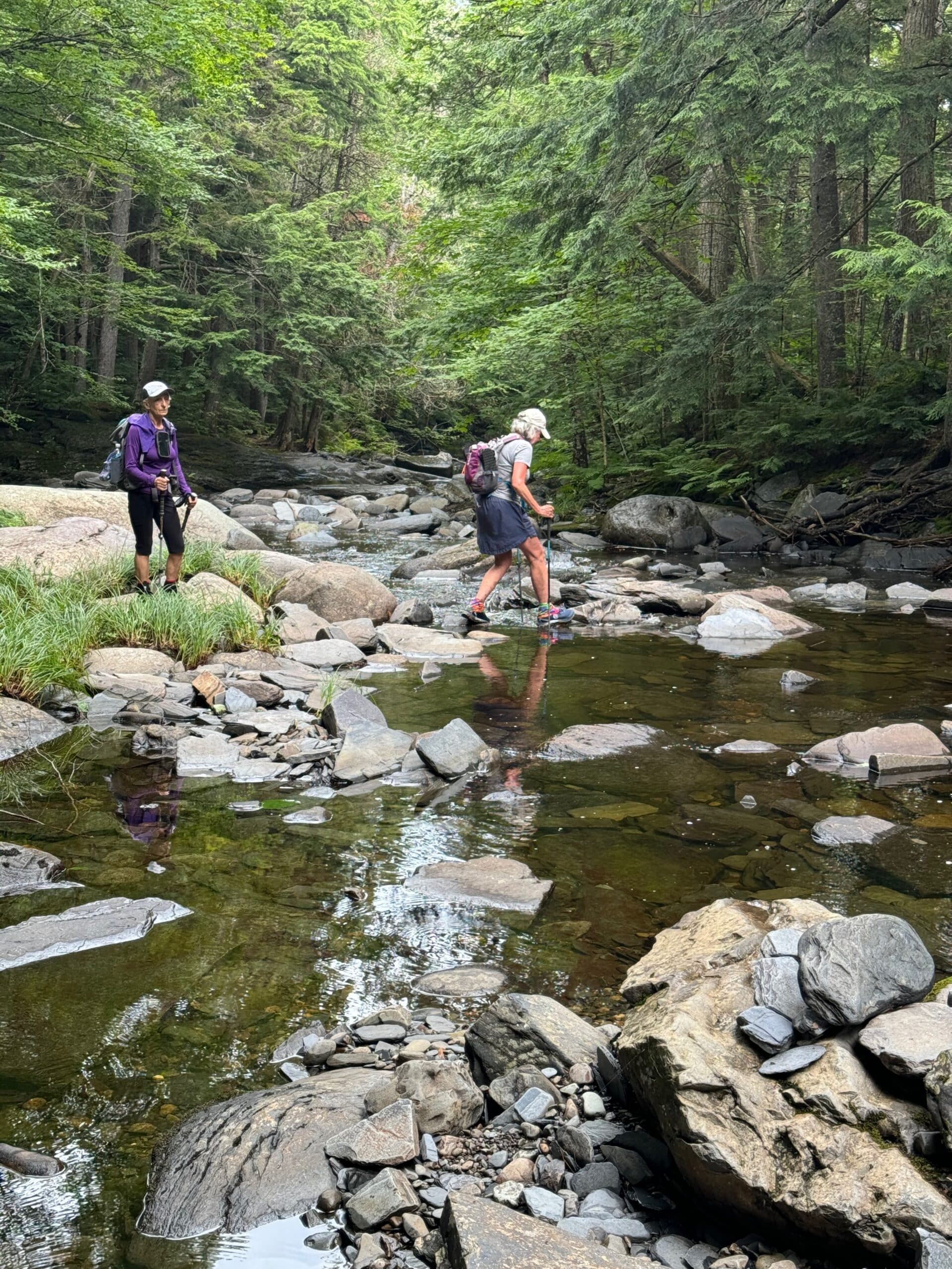
And let the races begin! This trip would entail a bunch of stream crossings — some we walked through the water, others we were able to rock hop. Fortunately the rains had subsided by the time we got there so the crossings were much more reasonable than I anticipated.
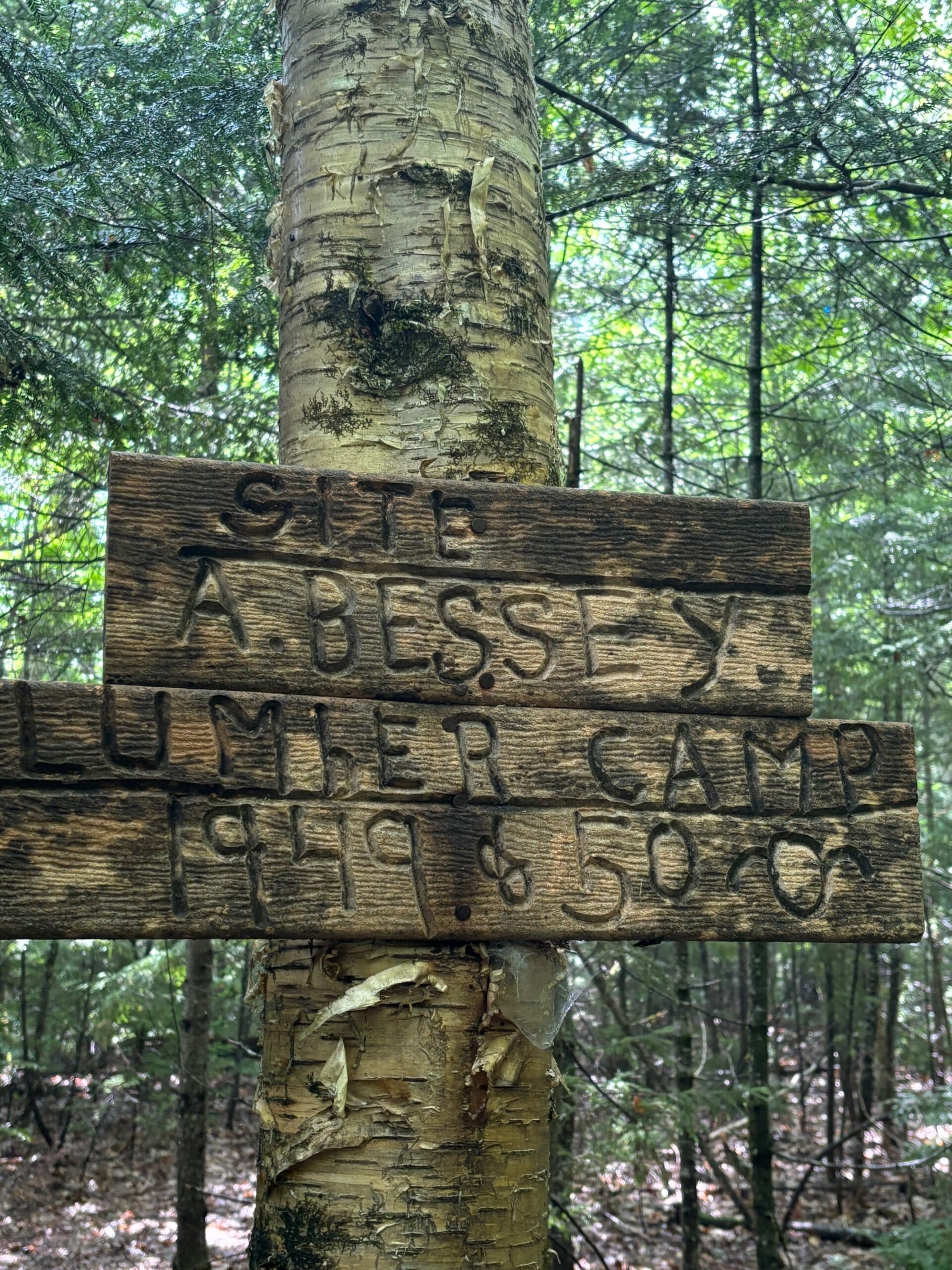
I am always so curious about the history along the entire AT — from the little bit I read Lumber Camps were quite popular at one time. Most of the 100 Mile Wilderness is privately owned land by lumber and paper companies.
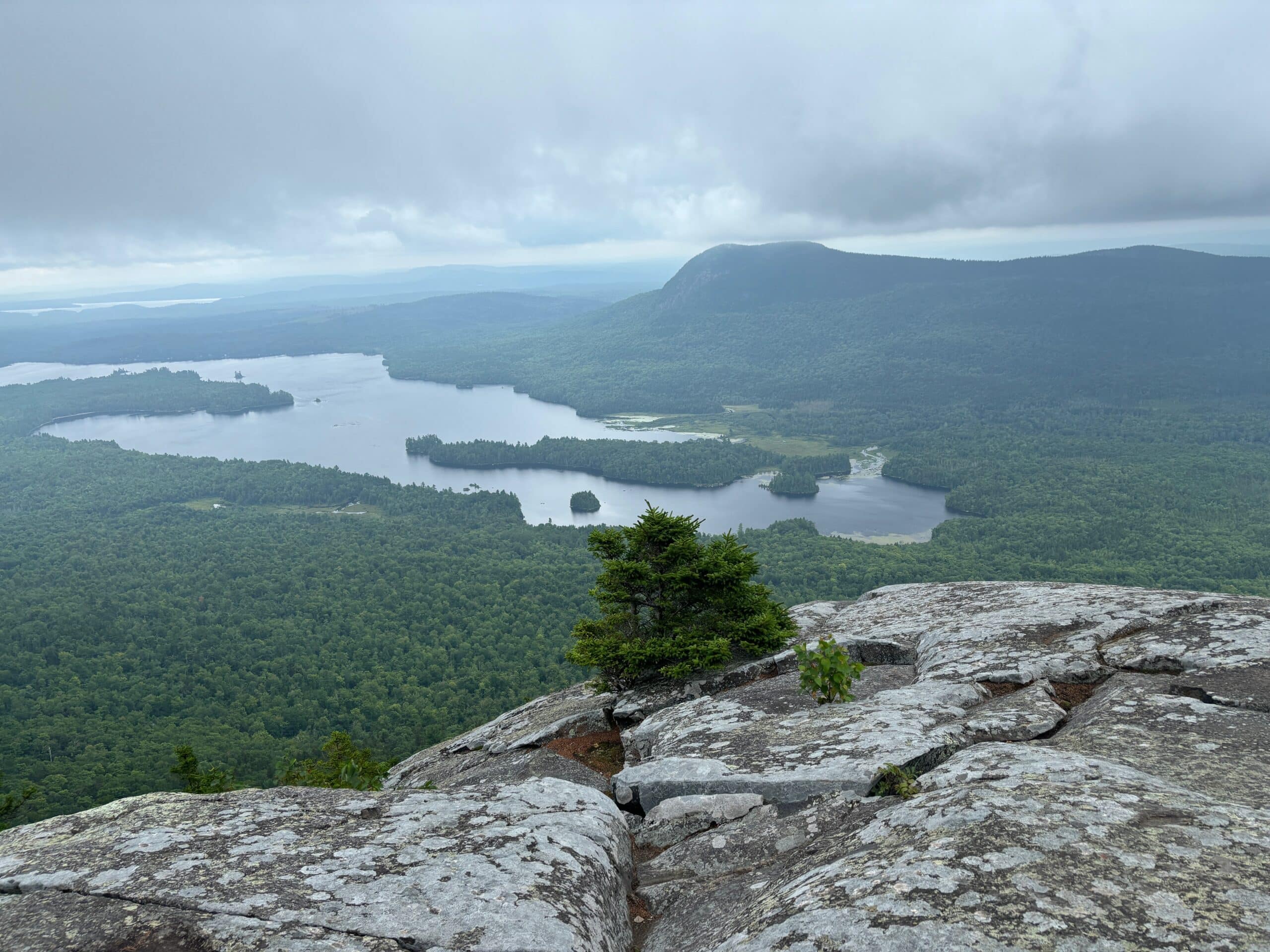
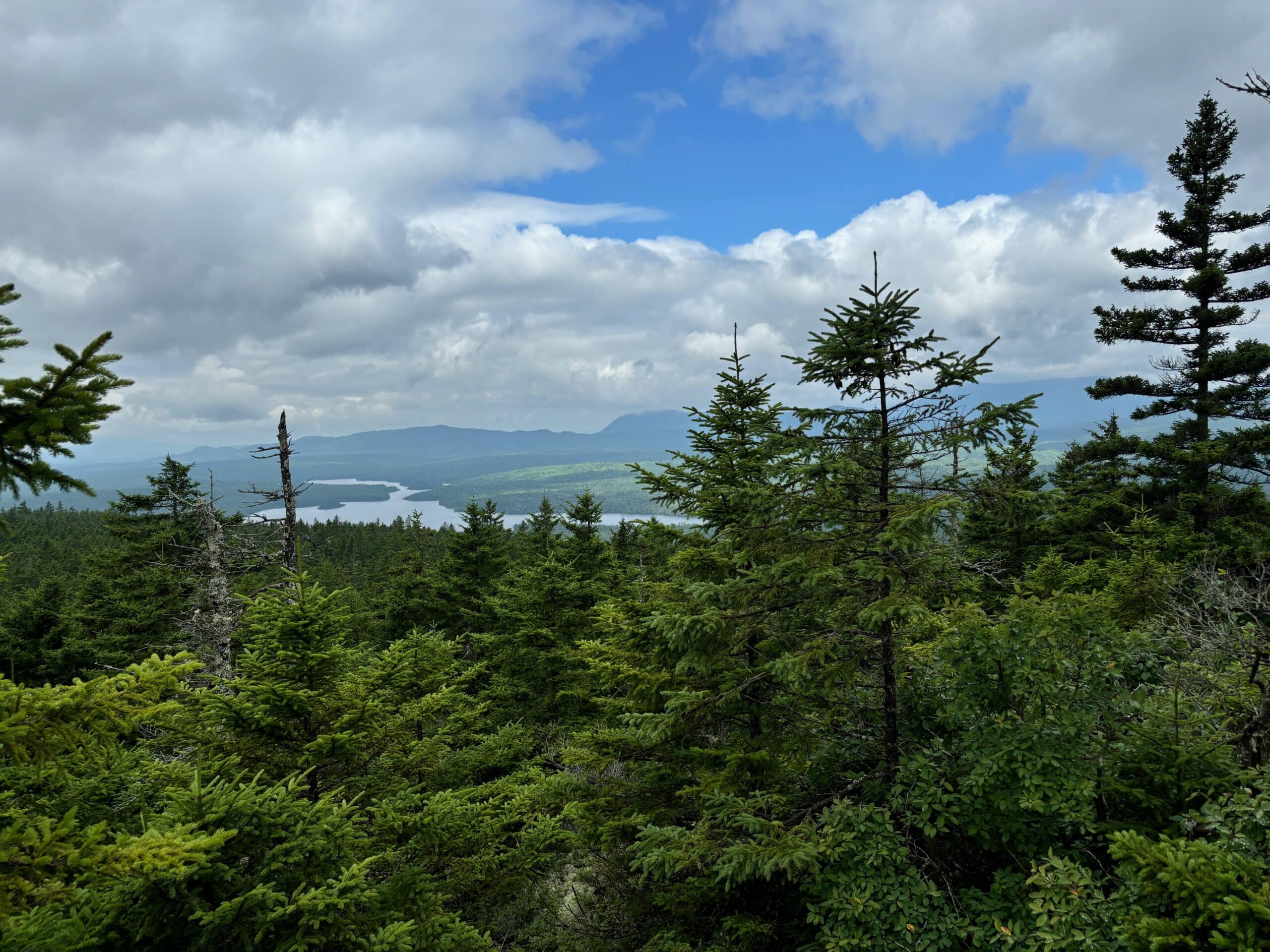
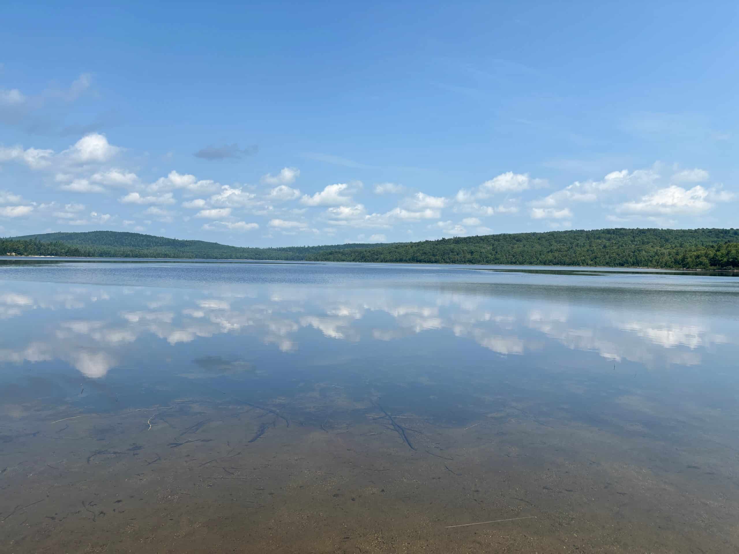
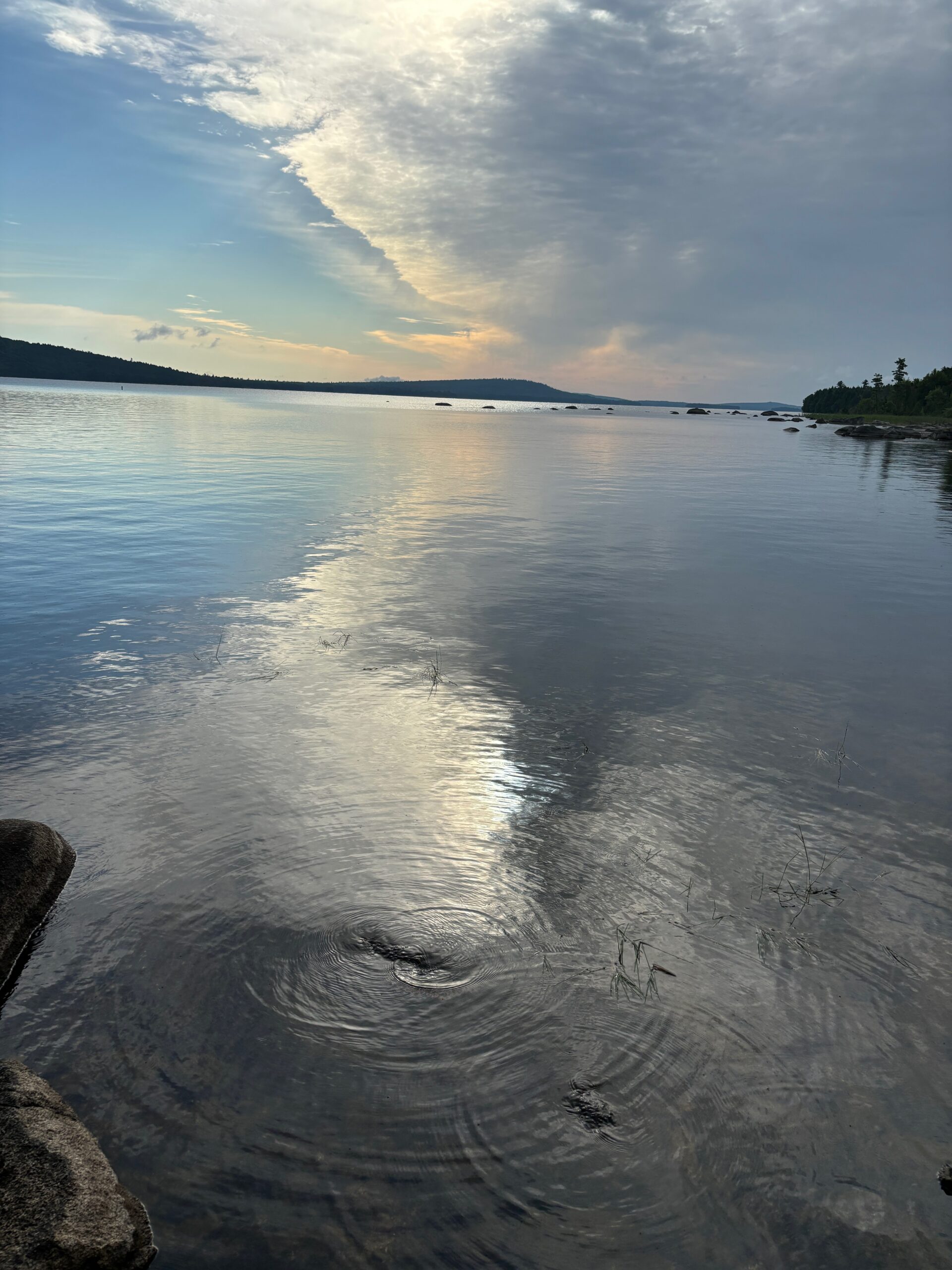
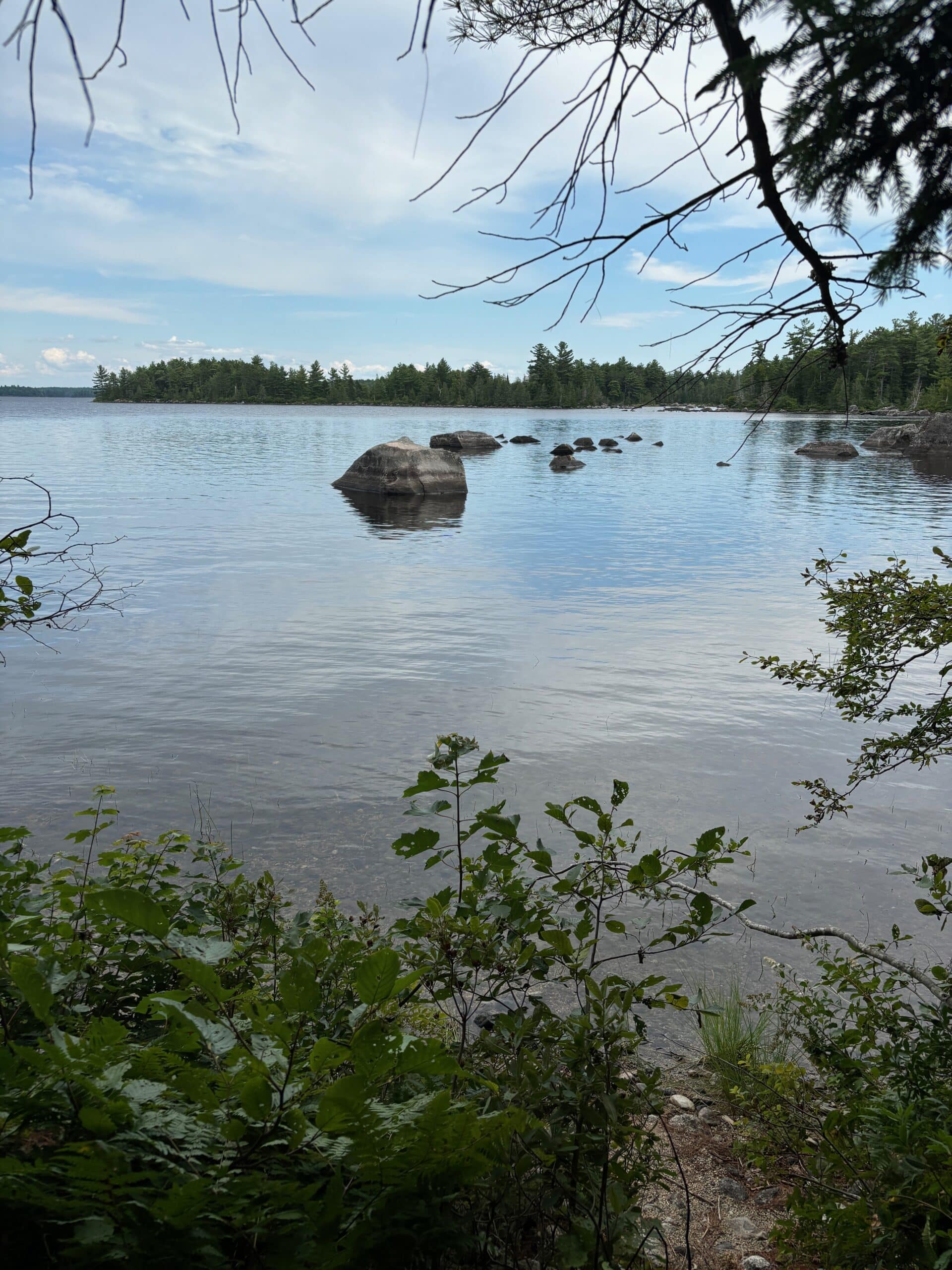
I never got tired of the many many “ponds” (some are truly the size of lakes) that we would pass by or look out over on this trip. Pristine, untouched — no motorized vehicles in these waters!
lunch break at a waterfall
It was a good hike — had drizzled a little in the morning right before we started but truly rain was minimal this trip.
Another stream crossing
Lynn stream crossing
Day 2 – 8.1 miles: The first 50 miles or so still entailed some climbs thus giving us some great views from atop the mountains.
They were some tough climbs — that’s Lynn way down below — our photography skills typically don’t do the steepness justice!
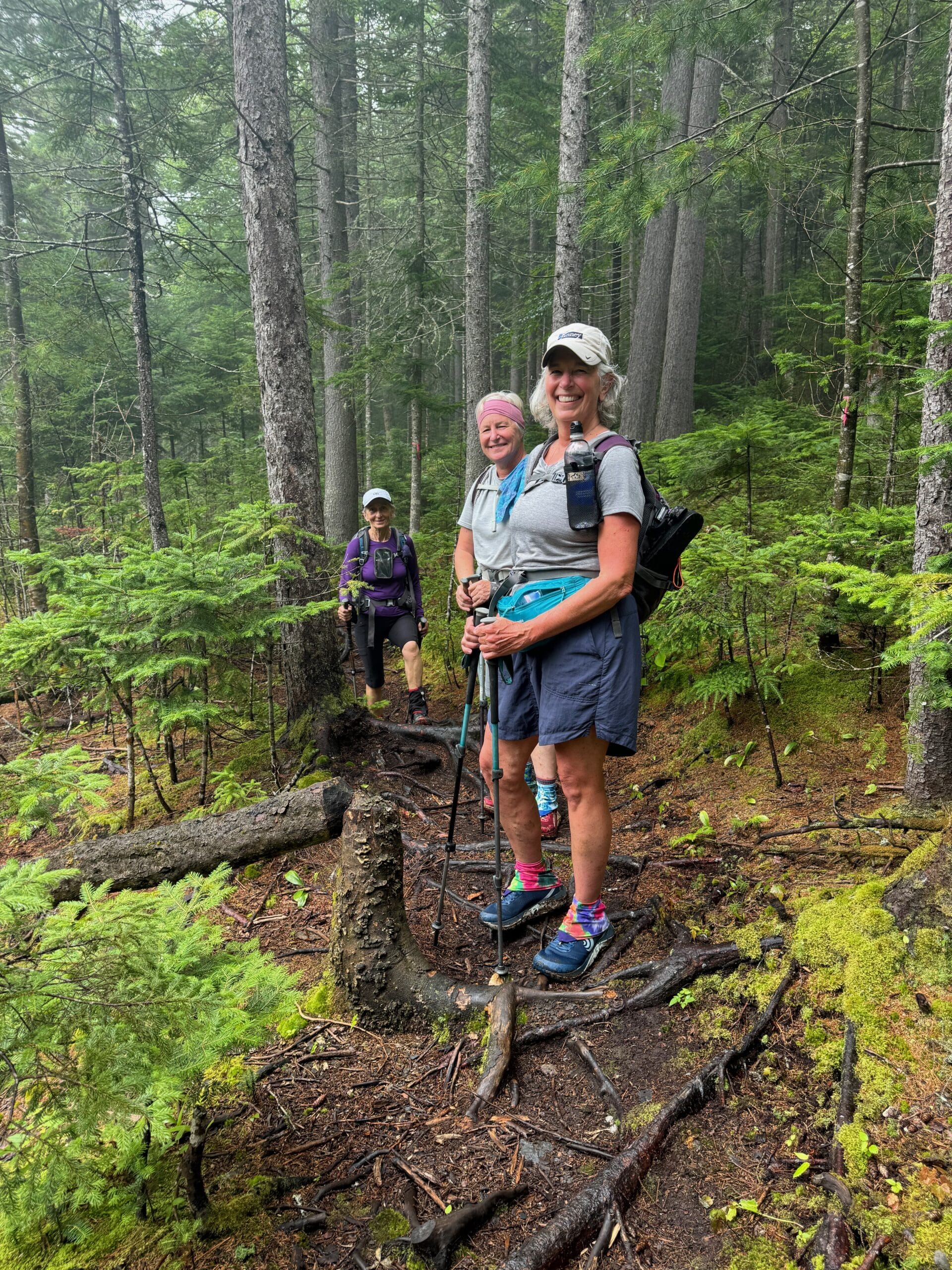
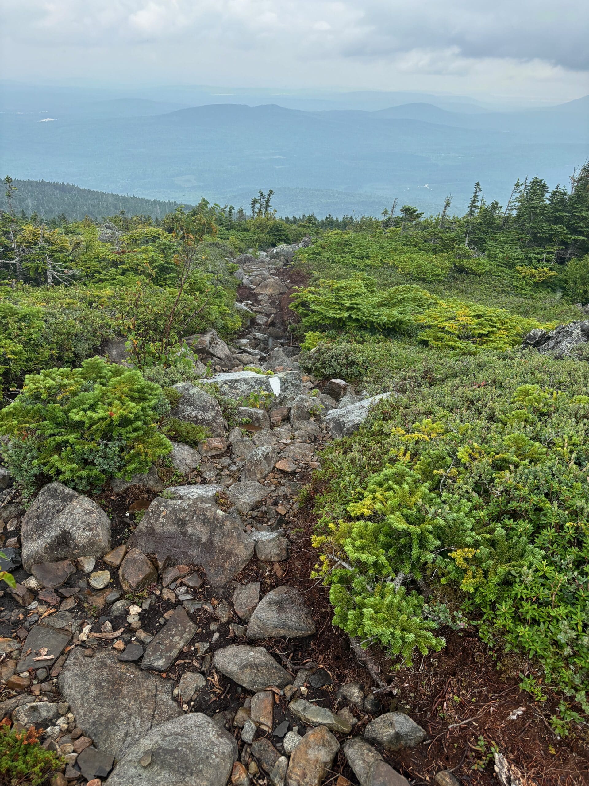
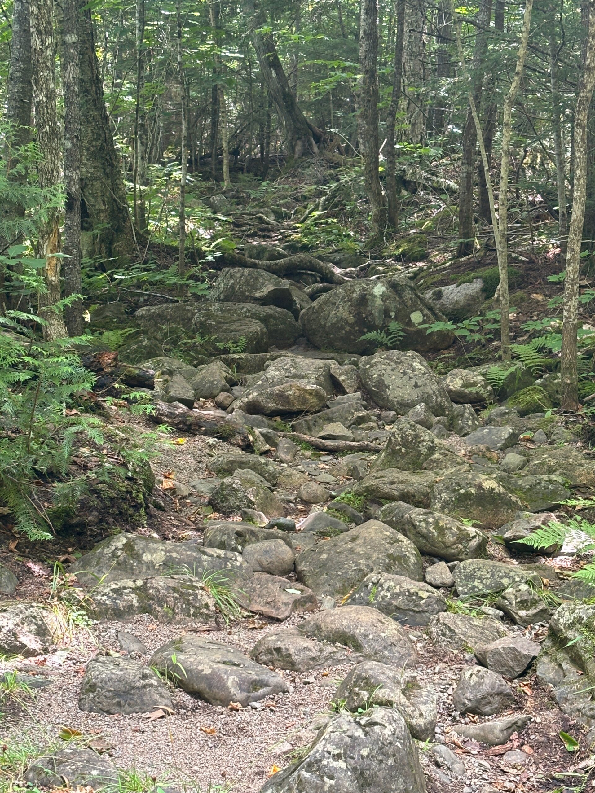
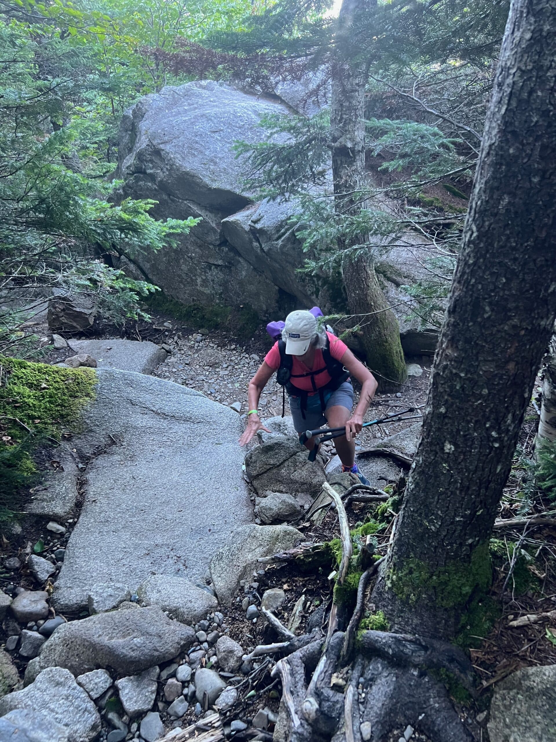
Lots of roots & rocks to hike over
It started raining about the last mile into the shelter — this one was situated down a very steep 3/10th of a mile ravine — we were not happy campers when we faced that challenge at the end of the day. Needless to say all 6 of us were all snug as a bug in a rug! It rained all night, so thankful for the shelter.
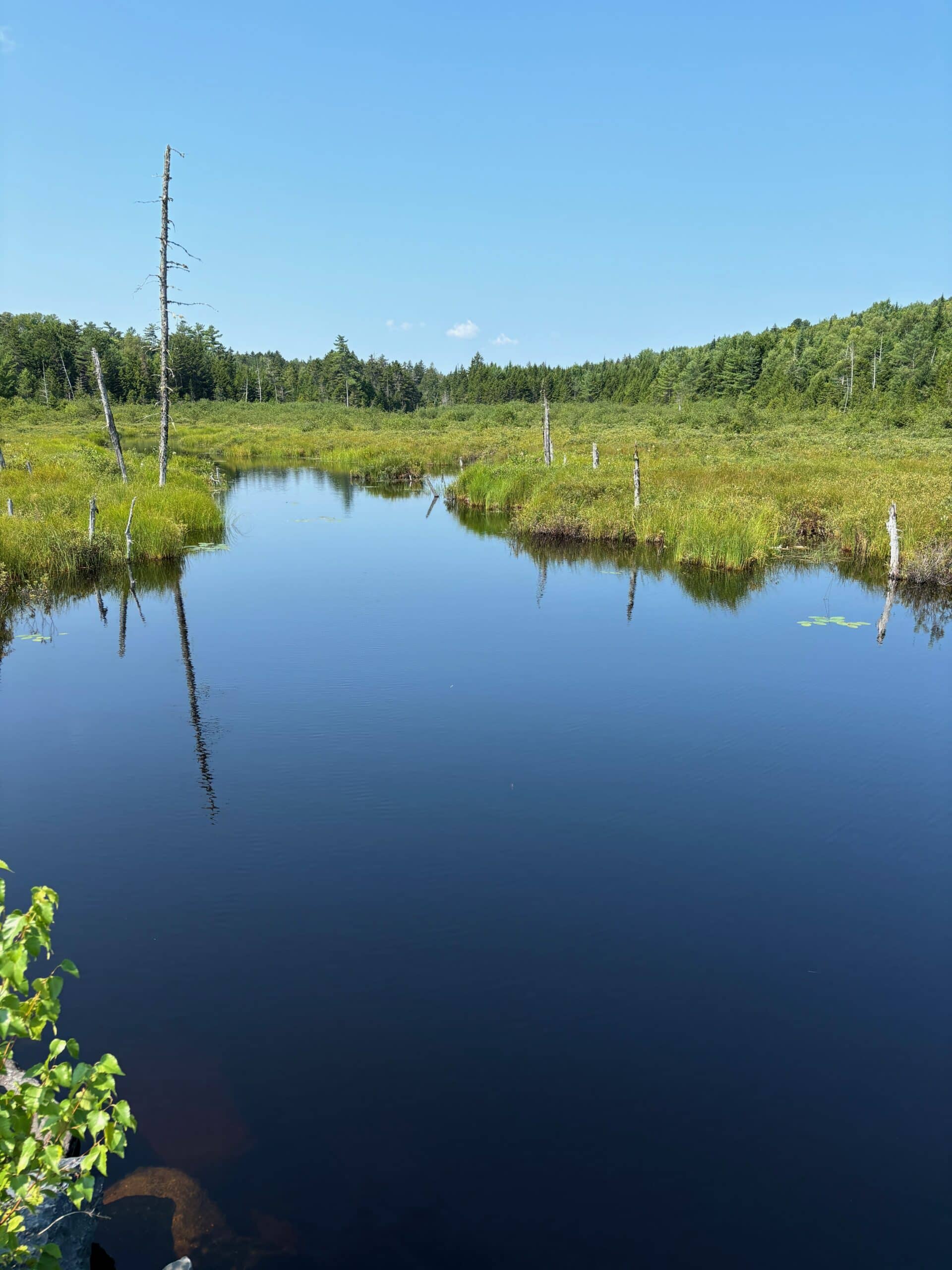
Day 3 – 11 miles: We also crossed through several bogs — they offer a beauty all of their own!
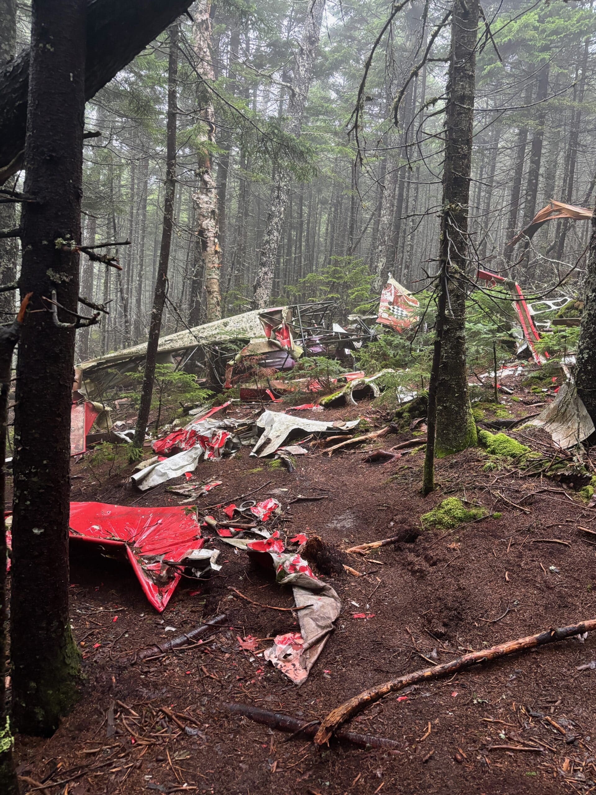
I have seen multiple plane wreckage over the years while hiking & backpacking — fortunately, this one has a happy ending — it was a father & son delivering food & supplies somewhere and they survived the crash and had provisions to sustain them until help arrived — but God!
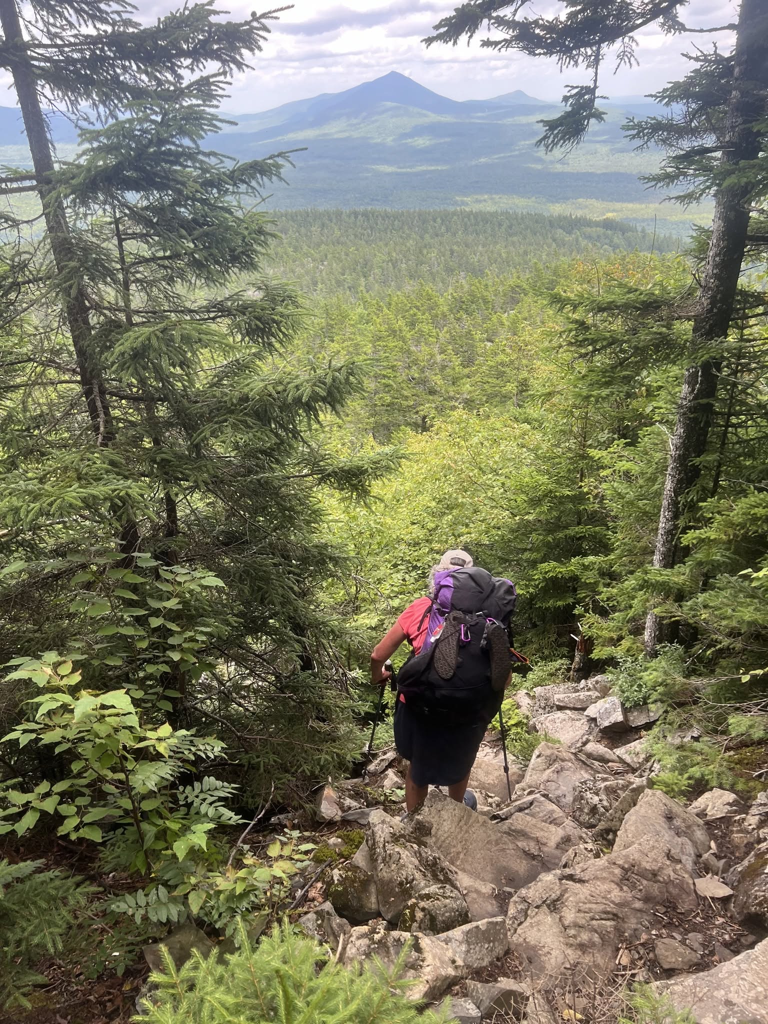
This was a very steep boulder decent that I was not expecting. But hindsight, after hiking down Katahdin this was a cake walk!
Another mountain top view of one of the many lakes/ponds
Mustering my way across the boulders
and back down the mountain.
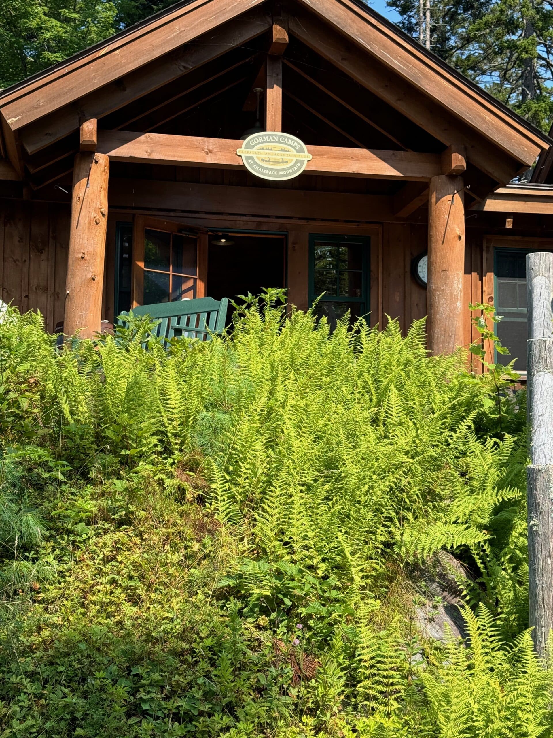
We ended our day at one of the Appalachian Mountain Clubs lodges — this was the Gorman Chairback Lodge (named after the mountain range we just hiked over). It was a welcome reprieve after a long day of hiking — did you know that “Maine miles” are longer than regular miles?!
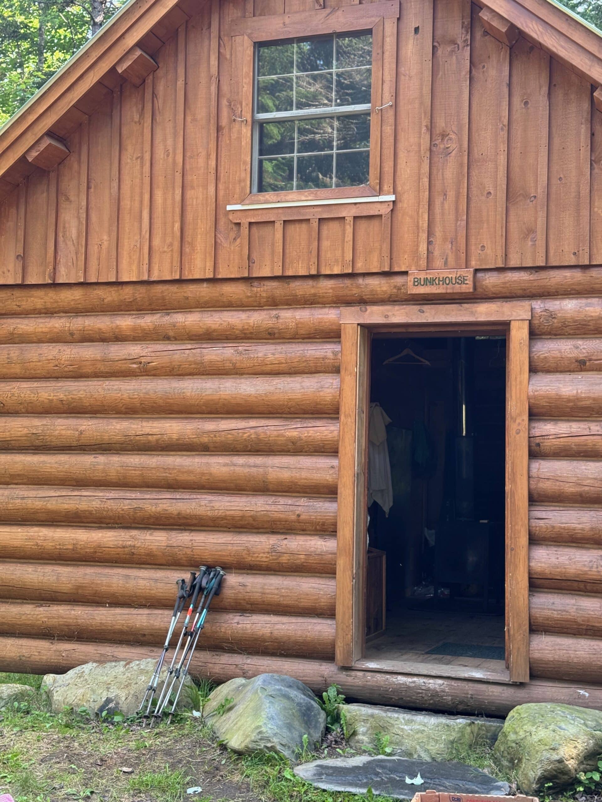
This was our bunkouse for the night. We were able to have a delicious hot dinner, a hot shower, a hot breakfast and a bagged lunch to go the next day. So well worth it! If I had any hope of seeing a moose along the trail, this is where I should have been able to see one — but to no avail.
Long Pond
Day 4 – 7.8 miles: One of the ladies caught a ride back into Monson to finish her hike with us, and 2 others took what we call a “zero day” — they sat a day out and then continued on for 3 more days to finish the 100 Mile Wilderness and the state of Maine — they had summited Mt. Katahdin several years back. So now our group was reduced to 3.
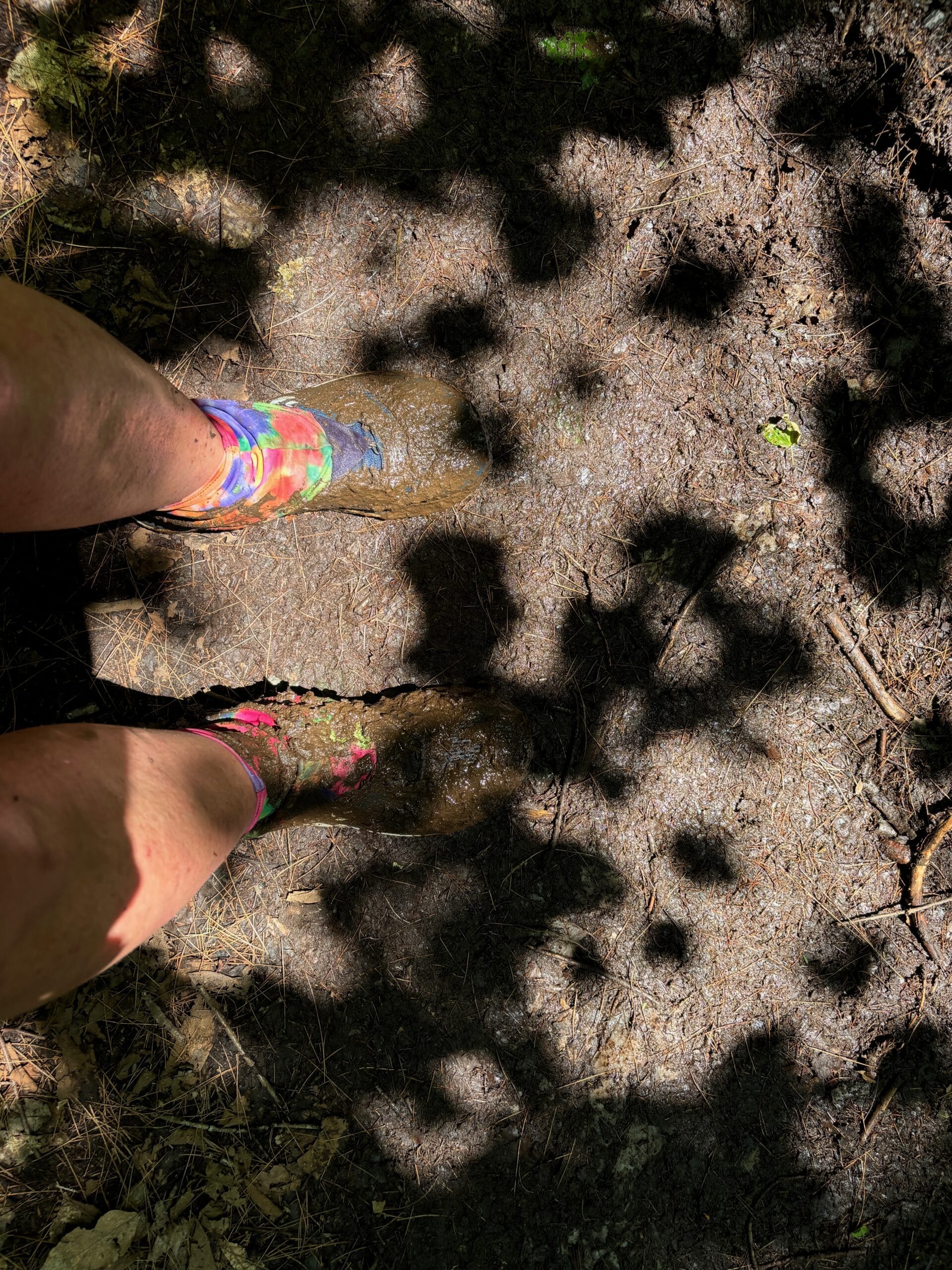
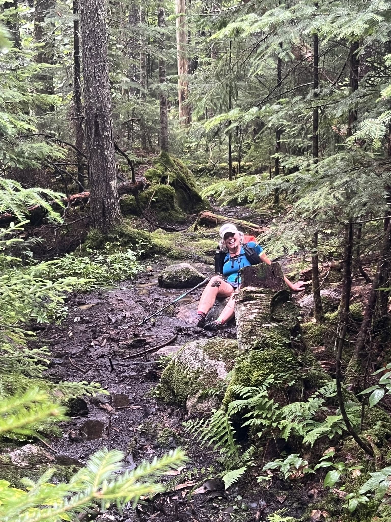
Every once in a while the unexpected happens — I lost my balance on some rock hopping and both feet just plopped right into the mud!
Day 5 – 9 miles: This was from the top of White Cap Mountain — the highest peak in the 100 Mile Wilderness until Katahdin. We had a few more smaller mountains to climb between here and there but for the most part the next 50 miles +/- were relatively flat. But flat doesn’t necessarily mean without it’s challenges — roots, rocks & mud were our companions for the coming days.
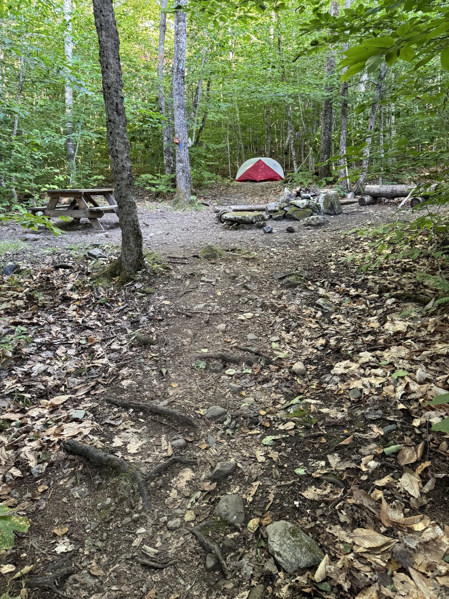
Our little campsite for the night – that’s my tent on the right.
At the lower elevation we would pass pond, after pond after pond — just so peaceful and
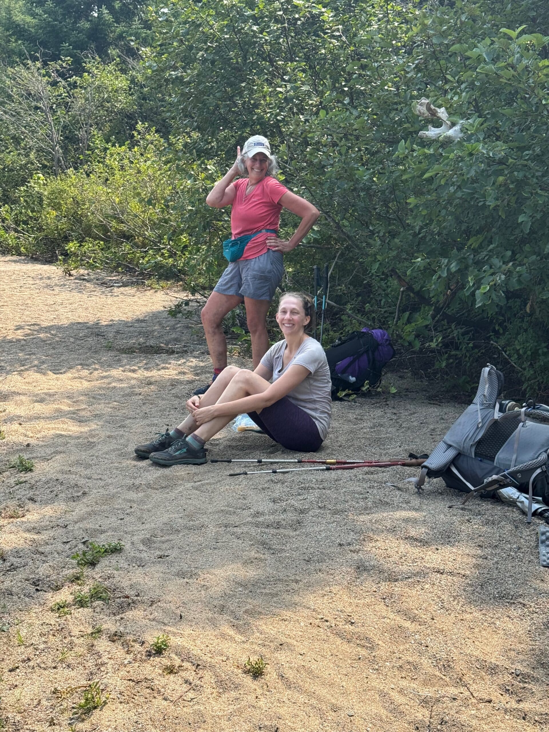
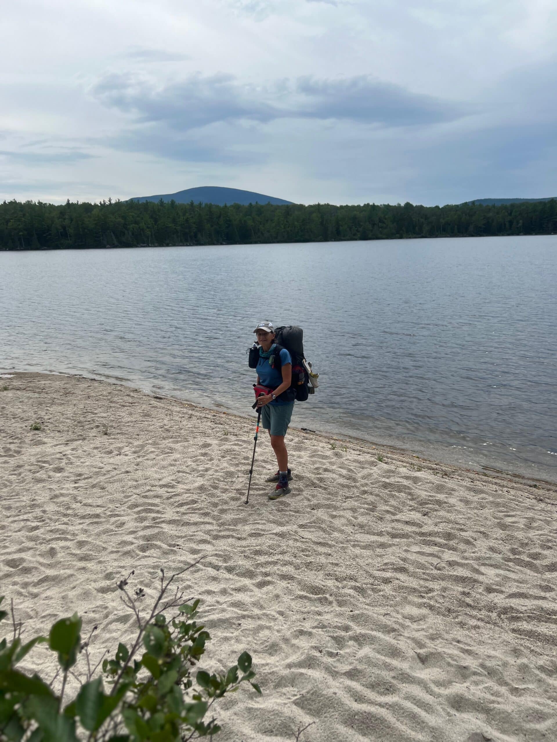
And some even have a little beach — like this one where we took a lunch break. Couple of bathing beauties there!
Another bathing beauty shot!
Mary loving the beach
Day 6 – 8.1 miles: There was a roaring river just down below where we were tenting — what a great sound to go to sleep by!
Day 7 – 11.5 miles: We had an easy 4 mile hike the next morning to one of the logging roads where we arranged with Shaw’s to bring us a food drop. This way we wouldn’t have to carry 10 days worth of food through the Wilderness. We were also able to send some dirty clothes and other gear we found we didn’t need back.
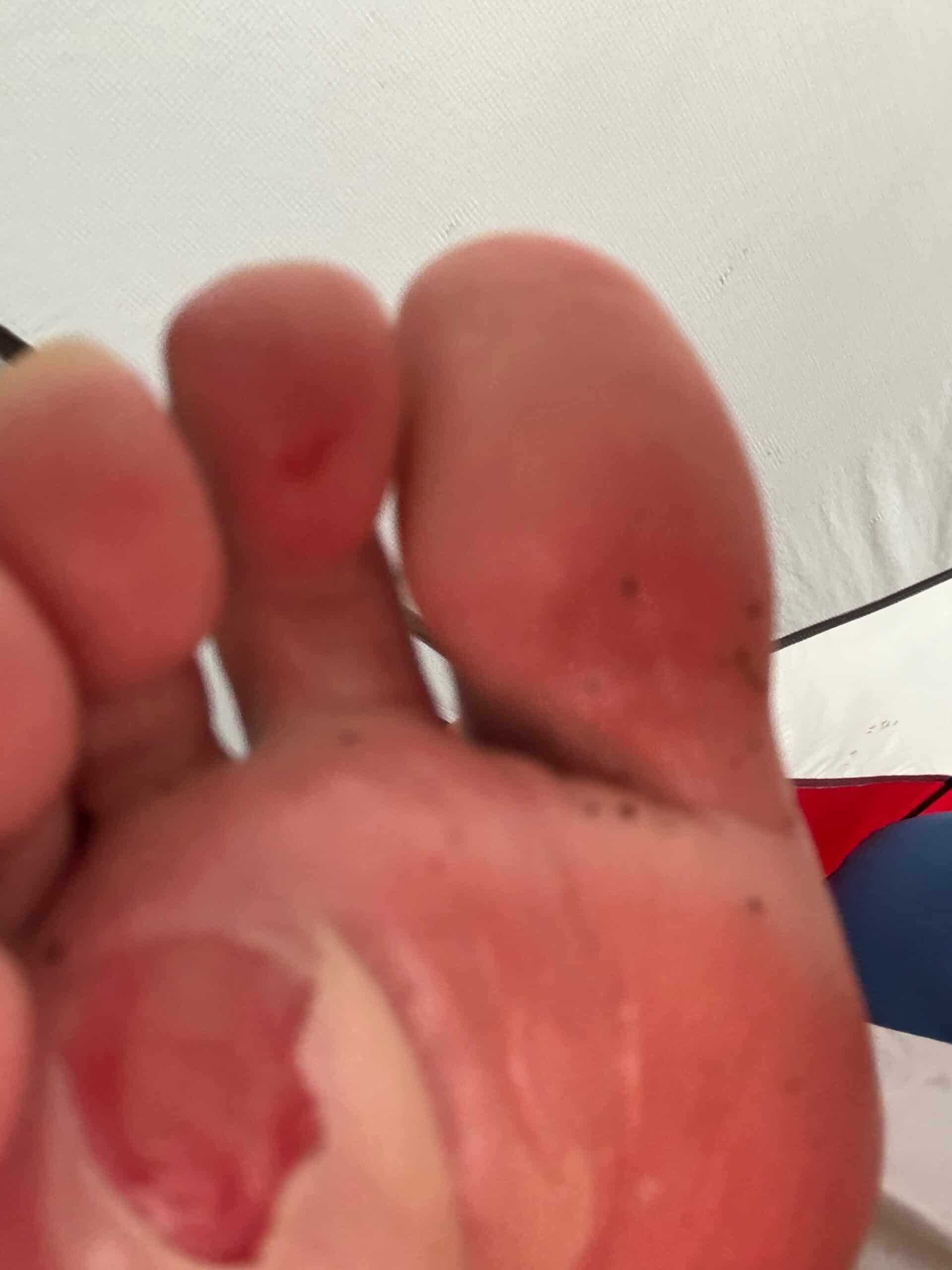
If you have a weak stomach, move on to the next pic! But this is what I had been hiking on, on both feet for pretty much the full 12 days I hiked, including up Mt. Katahdin. Unfortunately, the pain took a lot of the joy out of my hike including finishing the Trail.
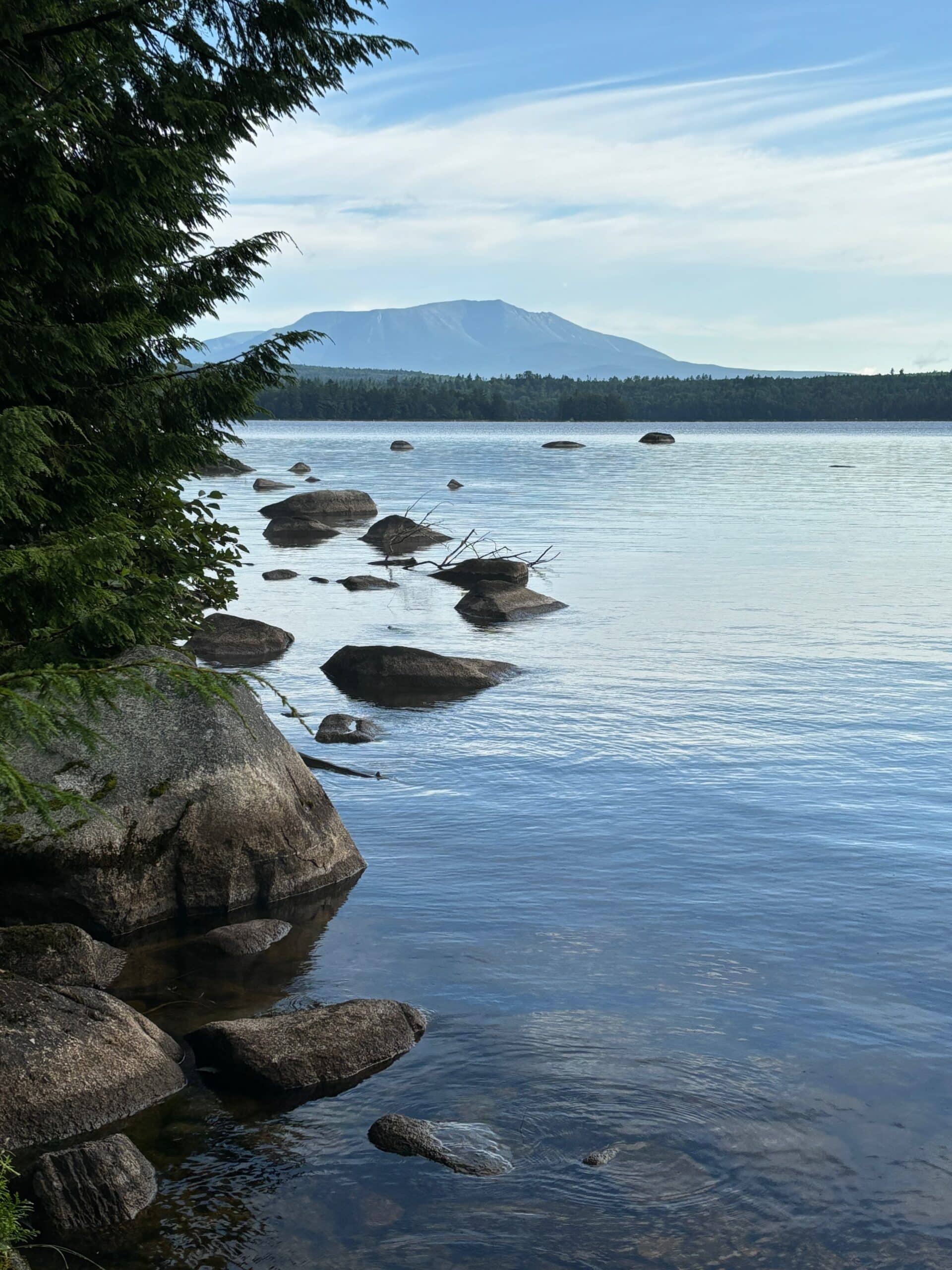
Day 8 – 10.1 miles: This was my first official view of Katahdin! This brought a few tears to my eyes!
A beautiful view over the lake!
The next few pics are of the various tread of the Trail…
…nice smooth pine needle tread
…roots, roots, and more roots…
…and rocks, rocks, rocks — needless to say the blisters and feet were not happy.
Day 9 – 11.9: atop of one of the smaller mountains — although still a challenge to climb! Fortunately the temps had dropped a bit by this point and this was a first thing in the morning climb.
We tented close by this refreshing lake for the night.
My humble abode for the night.
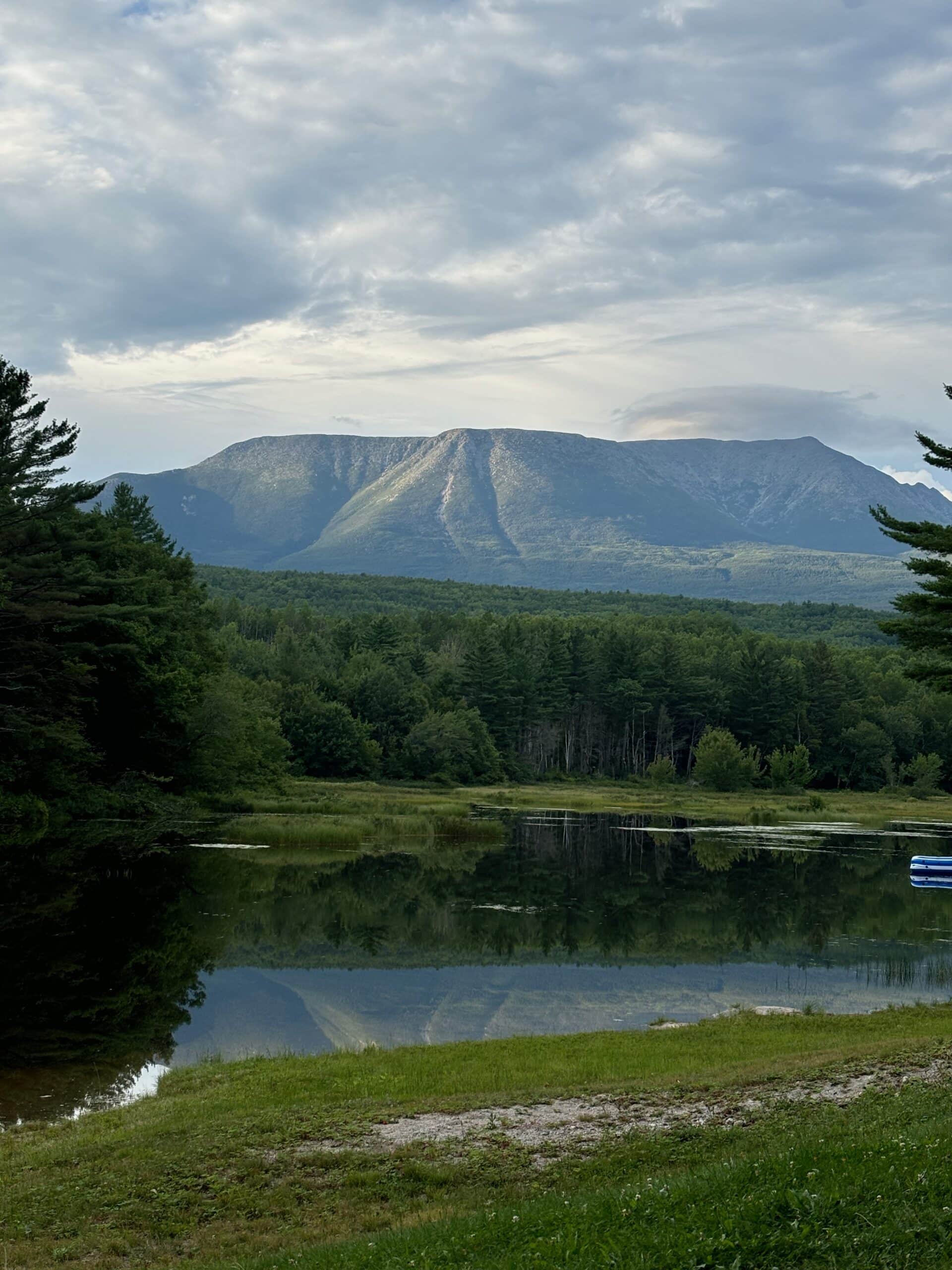
Day 10 – 11.3 miles: The infamous shot of Mt. Katahdin from the Abol Bridge area — the northern end of the 100 Mile Wilderness. We camped here for the night and took a zero day the next day as well to sit out Tropical Storm Debby. We initially planned to summit on Saturday, but delayed until Sunday.
Always love to see the American flag, especially along the AT
We switched out our tent site reservation for this little cabin — once again, nice and dry from the elements!
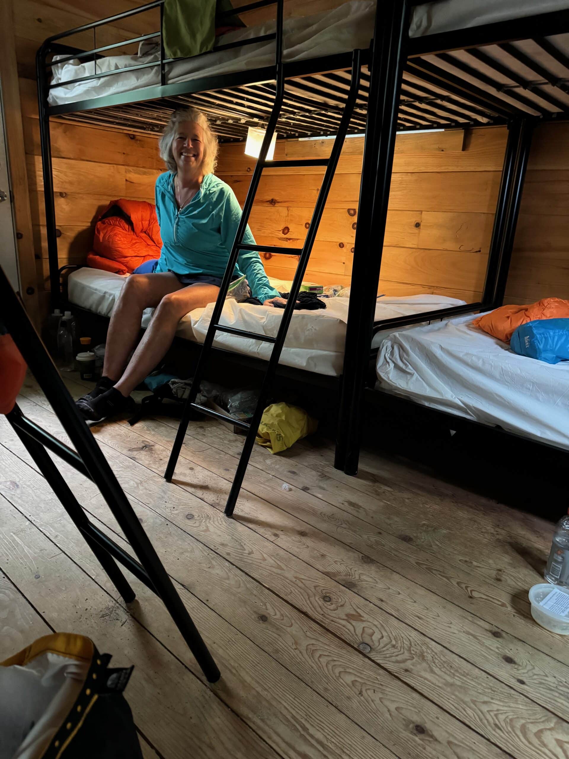
The inside of our cabin — 6 bunks for 3 of us — each of us having a bottom bunk was a bonus!
My comfy and dry bunk! We were even able to finally get a shower AND do laundry! We also were able to resupply food for the last 2 days from the camp store — convenience food store at it’s finest for 2 days!
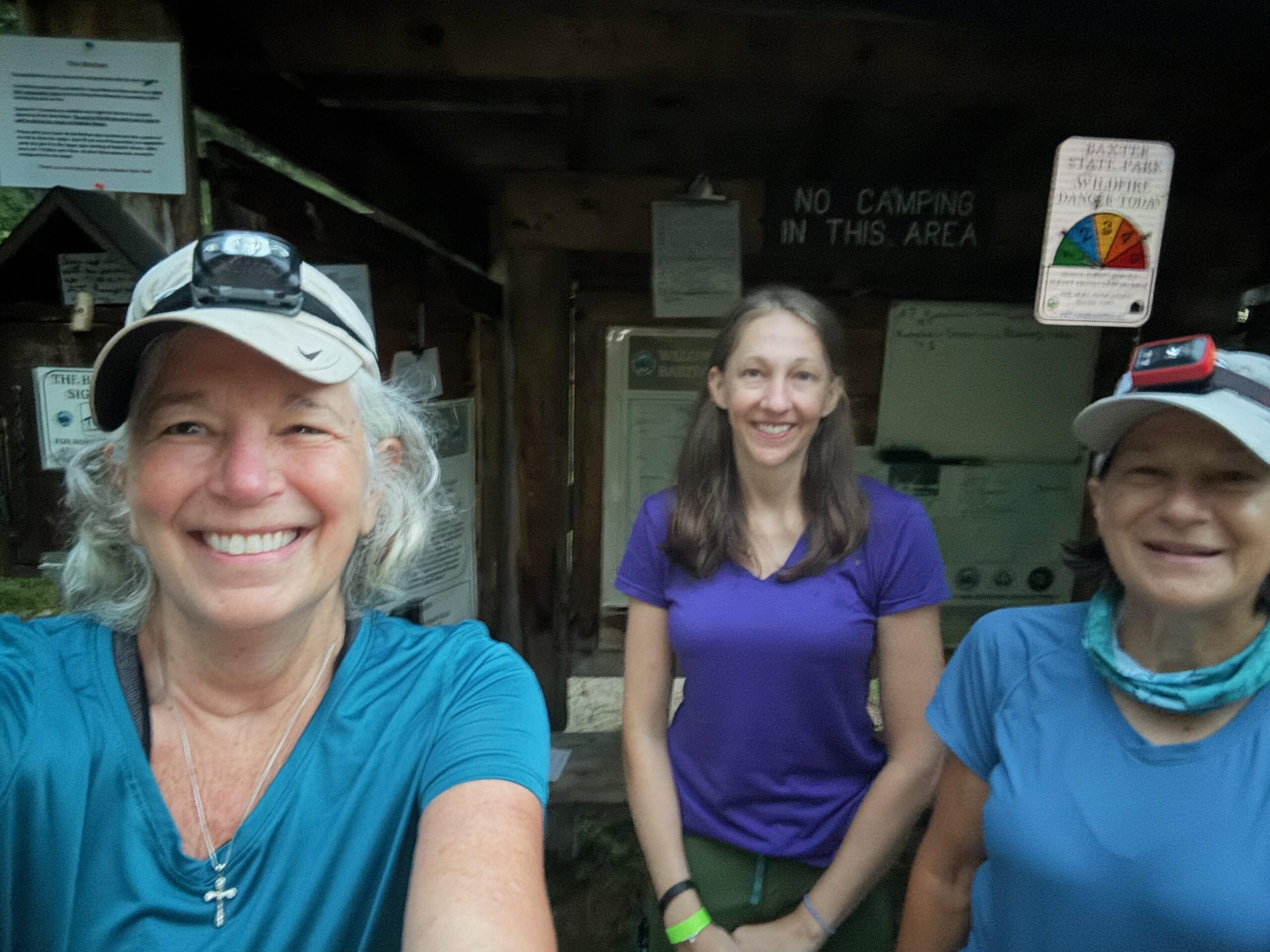
Day 11 – 9.8 miles: We were up before the birds to hike less than a mile to the Ranger’s Kiosk in Baxter State Park to assure that we have a lean-to/tent site at a designated spot for hikers that have hiked the 100 Mile Wilderness or more.
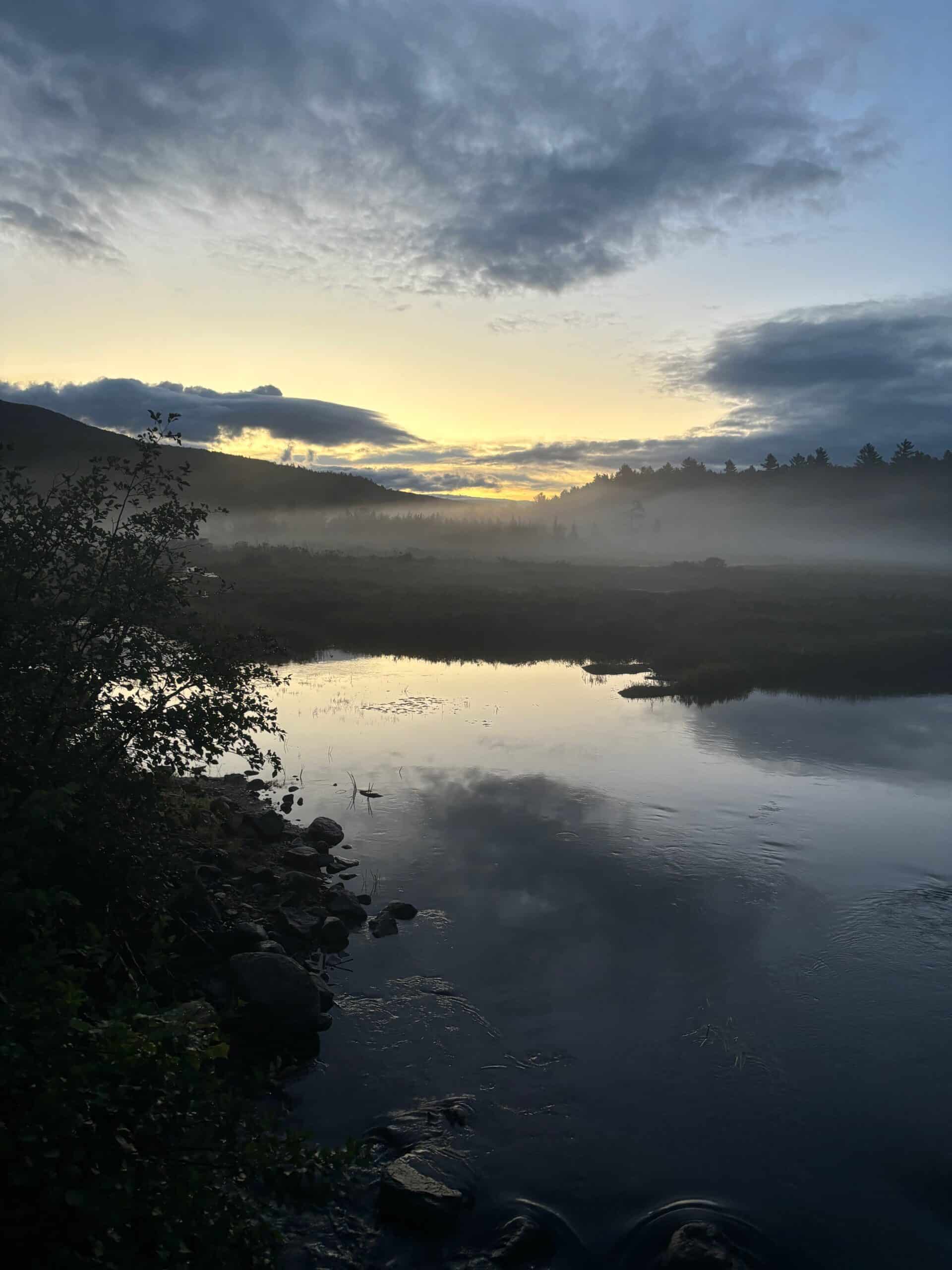
A view of the river from Baxter State Park while we waited for the Ranger.
We had to take a high water bypass trail to avoid a high river — we probably could have crossed it, but not rock hopped — I just took advantage of the past 2 days at the campground drying out my feet and shoes and I didn’t want to get my feet wet and aggravate the blisters. But that was all in vain when I once again landed in a big fat mud puddle! Ugh!
Profile of our climb!
Day 12 – 5.3 miles (plus 5 more miles non-AT to hike back down Katahdin): After camping for the night at the Birches, we were once again up before the birds and the sun to start our last day and ascent up the much anticipated hike up Mt. Katahdin! Let the fun begin! The first few miles were pretty smooth, then another mile below tree line the boulders started — still nothing I hadn’t done before…
More climbing…
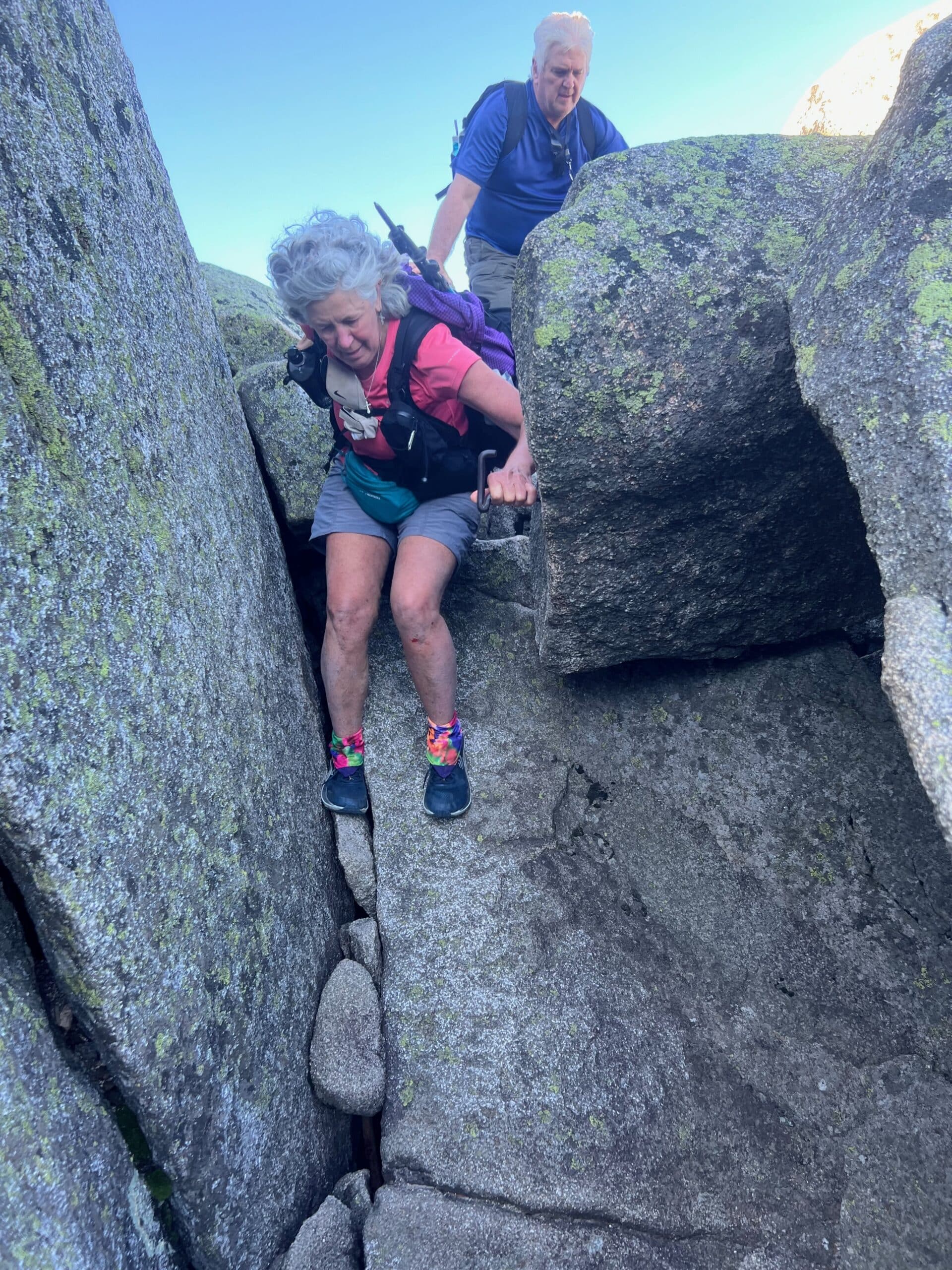
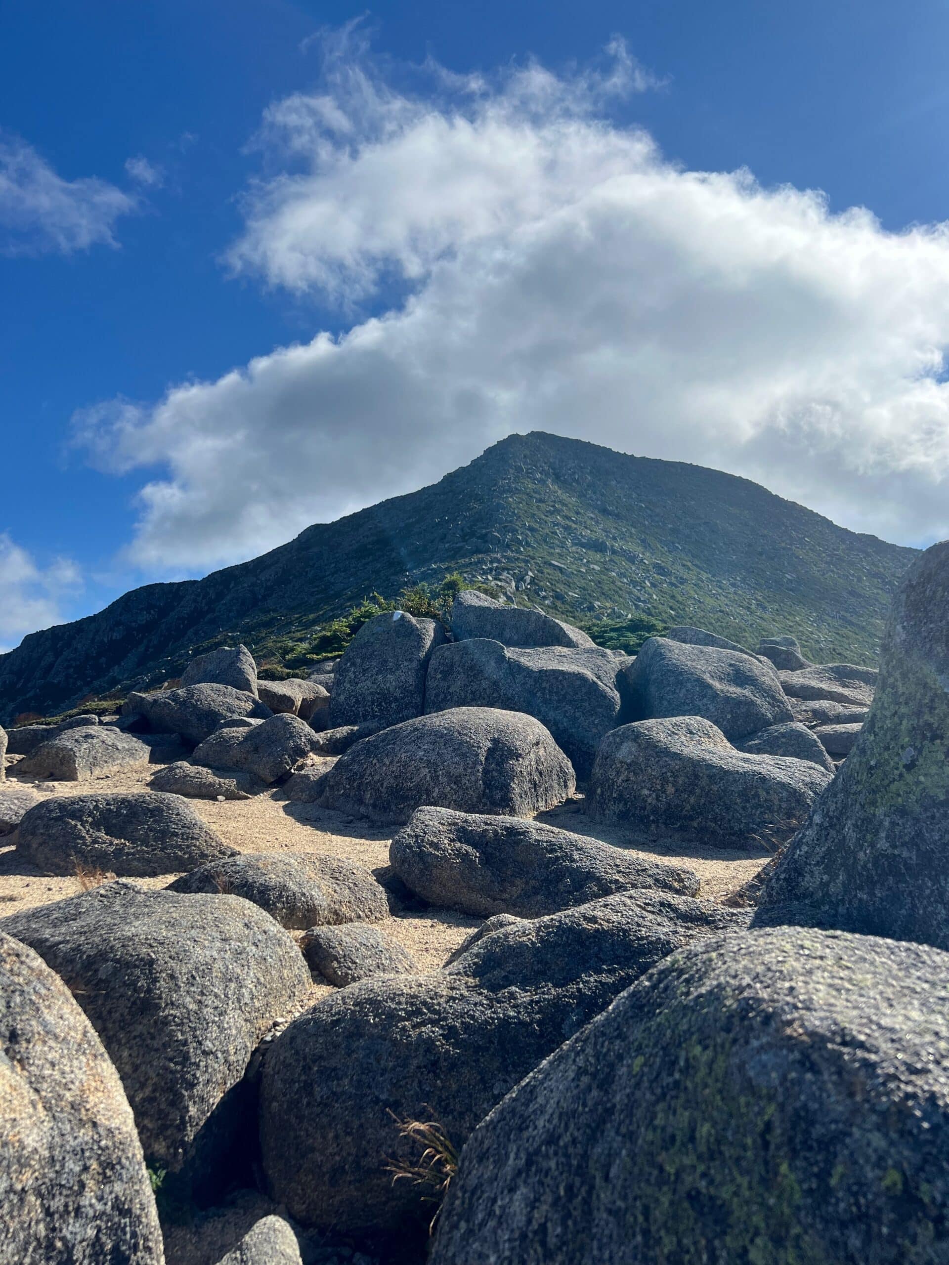
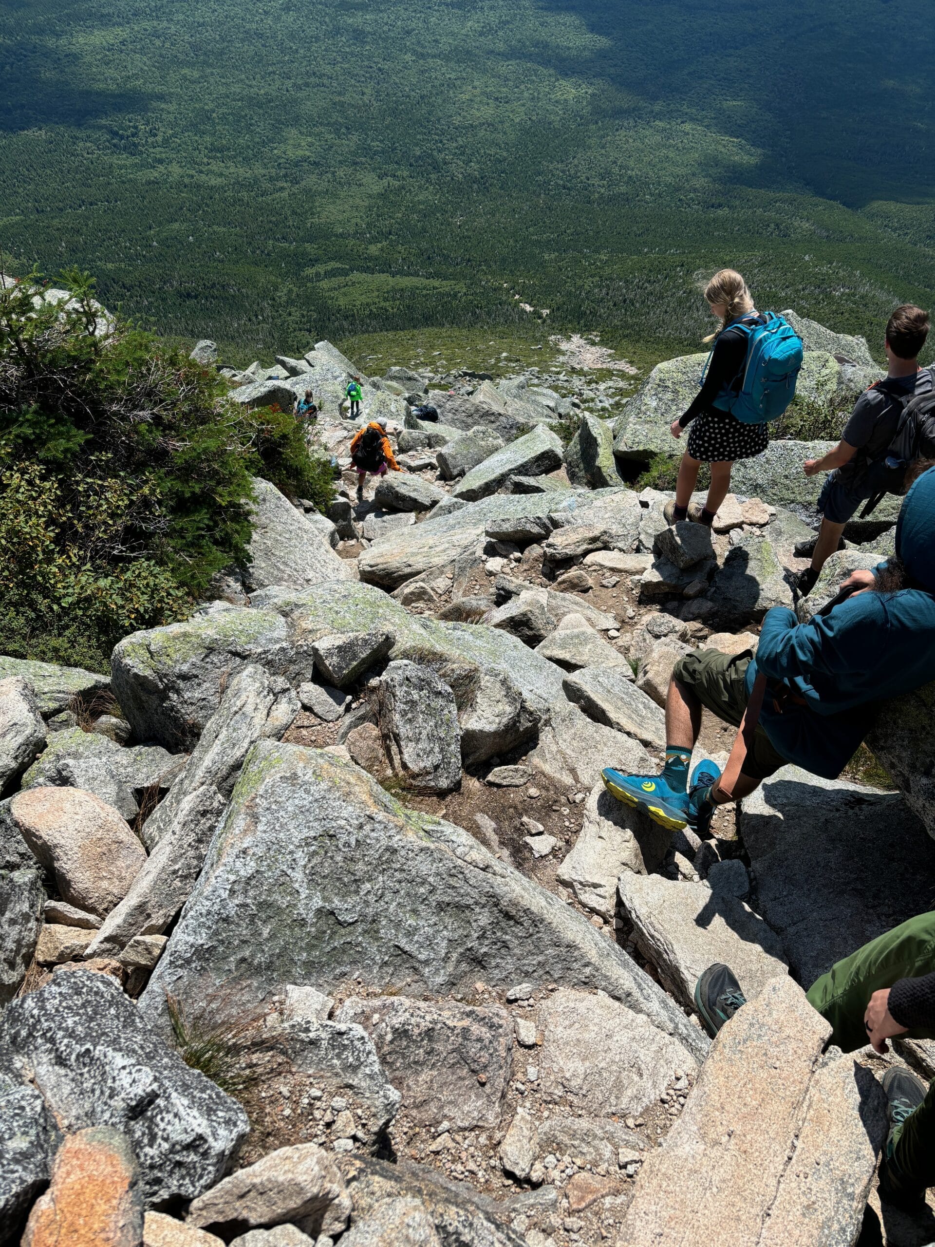
Now above tree line — honestly, the pictures do not do the difficulty near enough justice, nor do they do the beauty justice. At one point we had rebar built into the rock that we had to grab hold of and pull ourselves up. Other times it was just grabbing onto edges of the boulders.
Not sure where that smile came from — but I can tell you the adrenaline was rushing…
I was looking back down over a boulder climb I just came up trying to encourage another hiker that he could do it.
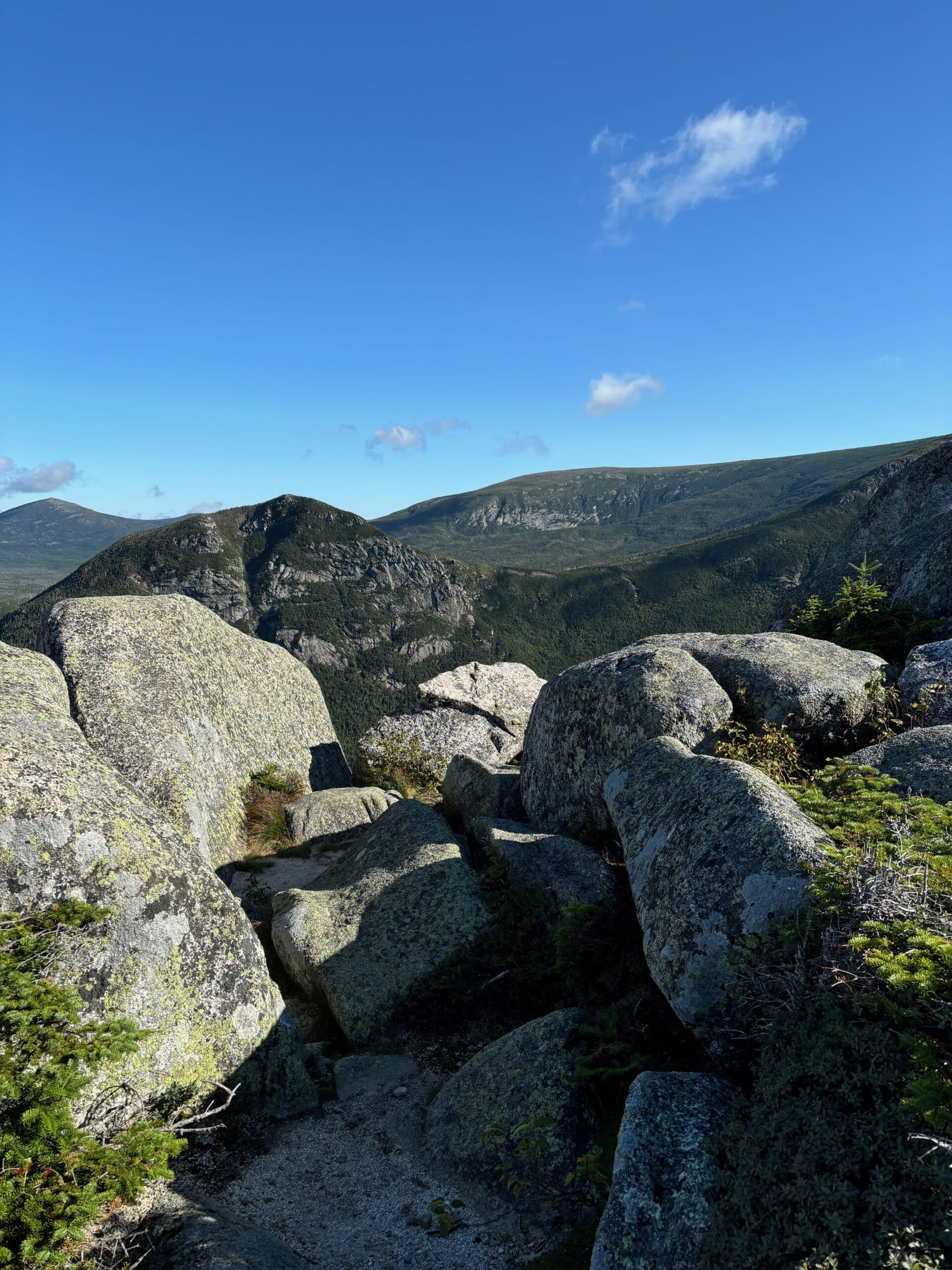
Took a moment to take in the views — look at all those many lakes & ponds!
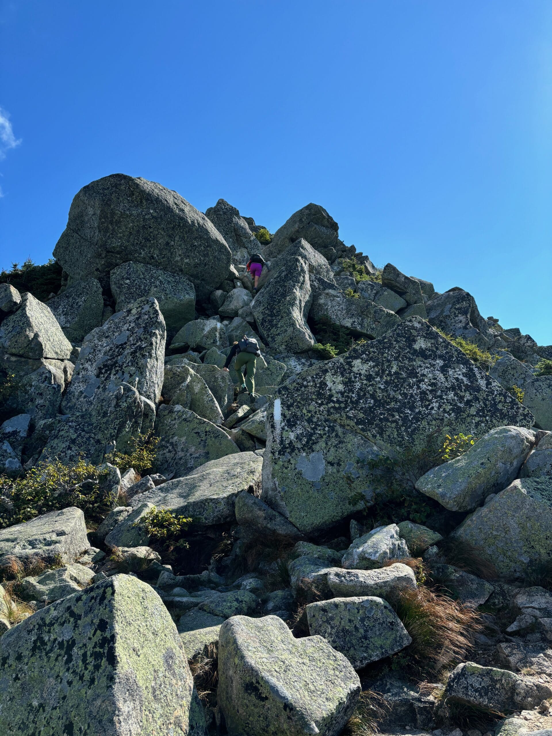
Picture of Jess making her way around one of the huge boulders for the next level of climb up…
Mary hugging the left side under the boulder in order to not slide off the edge on the right — Jess and I also followed suit — this pic doesn’t do the difficulty justice!
up one boulder, down over the other side of the next
This is what we mustered around for 8/10th of a mile — the longest 8/10th’s I’ve ever hiked.
We had a little leveling off reprieve before we tackled this — we literally hiked straight up the spine of that mountain — you might think that was the top like I did — nope, false summit — there were several more climbs behind this one. It truly felt never ending and took us several hours to climb.
Yes, that’s the Trail – that’s Jess and Mary way up there!
Yes, that’s the Trail
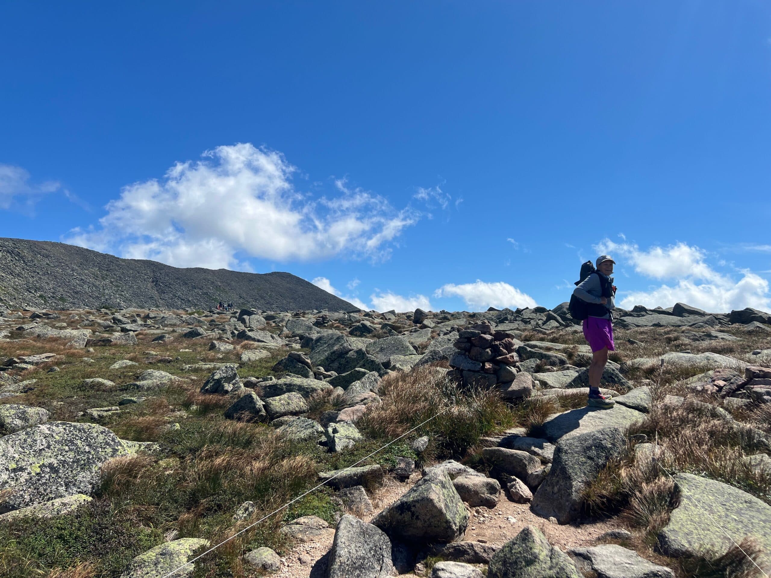
Finally reached a plateau that is known as the “Table Land” — but the rocks under my feet were still a challenge — leveled off or not.
We had about 1.5 more miles to go to the summit from here.
Looking back over the Table Lands — love how the clouds were lying low — or we were just that high!
Tablelands
That mountain off to the left hand side is where we were heading next — the peak at the end is the summit. It looks a lot closer than it was!
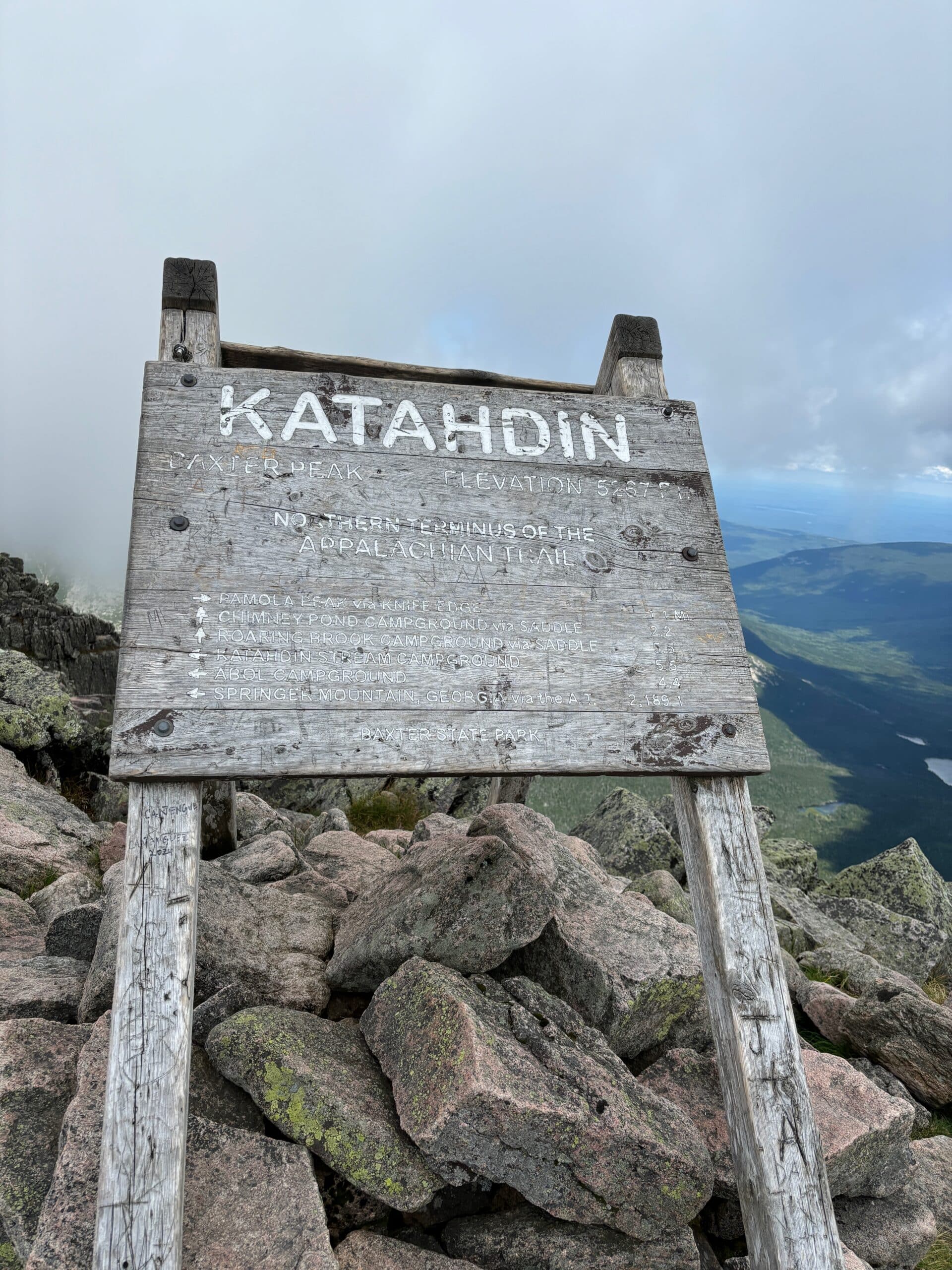
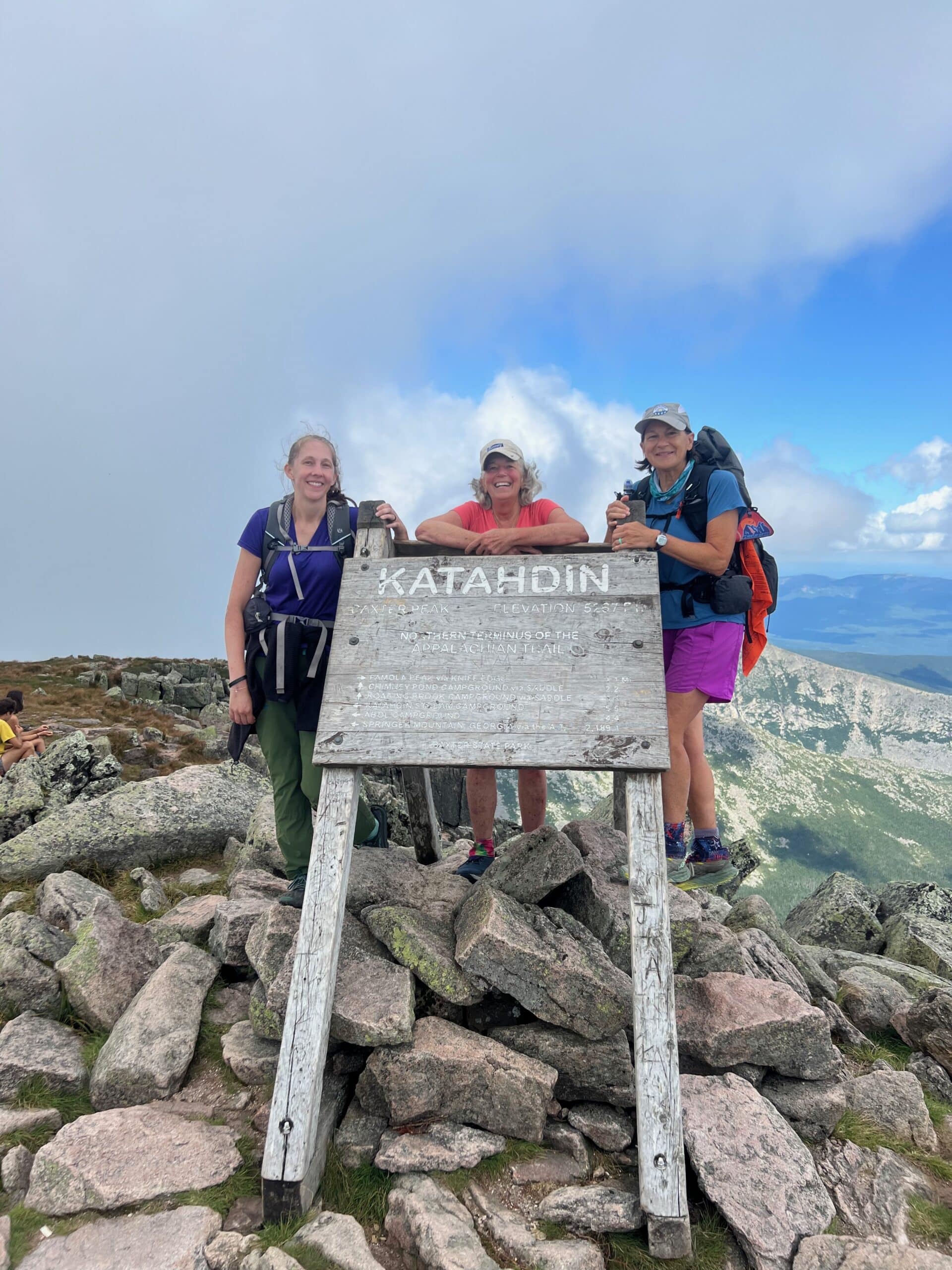
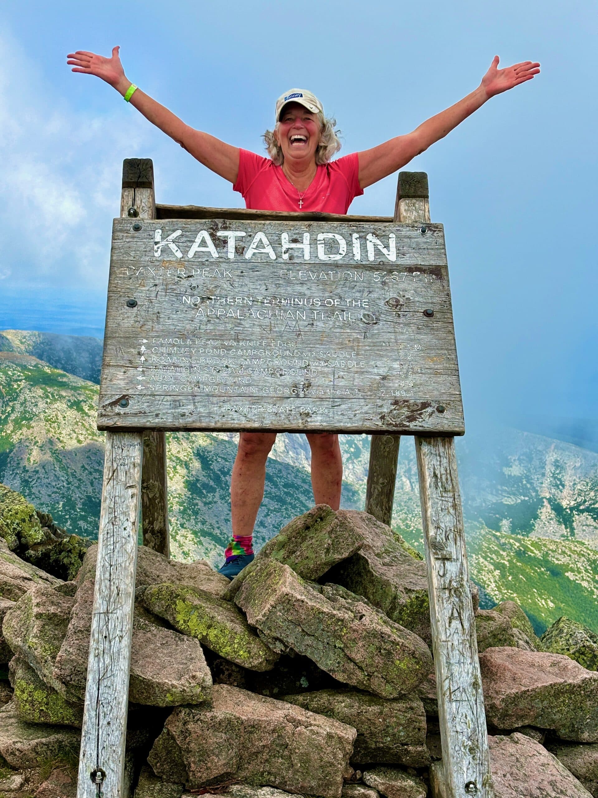
And there she is! The famous sign indicating the northern terminus of the AT!
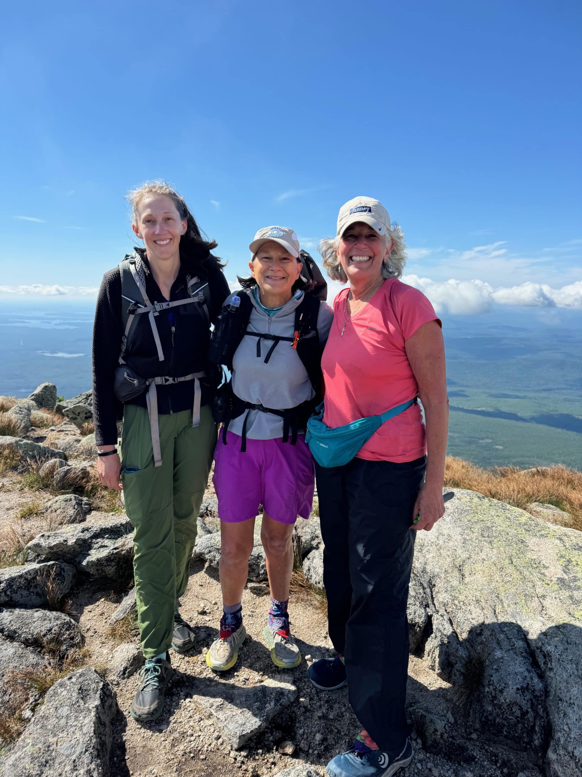
We did it!
Done! …
…well, not really — now we had to hike back DOWN! There are no roads that lead to this peak — there is no way to get there but hike it. We had to go way down below to the tree line — and beyond.
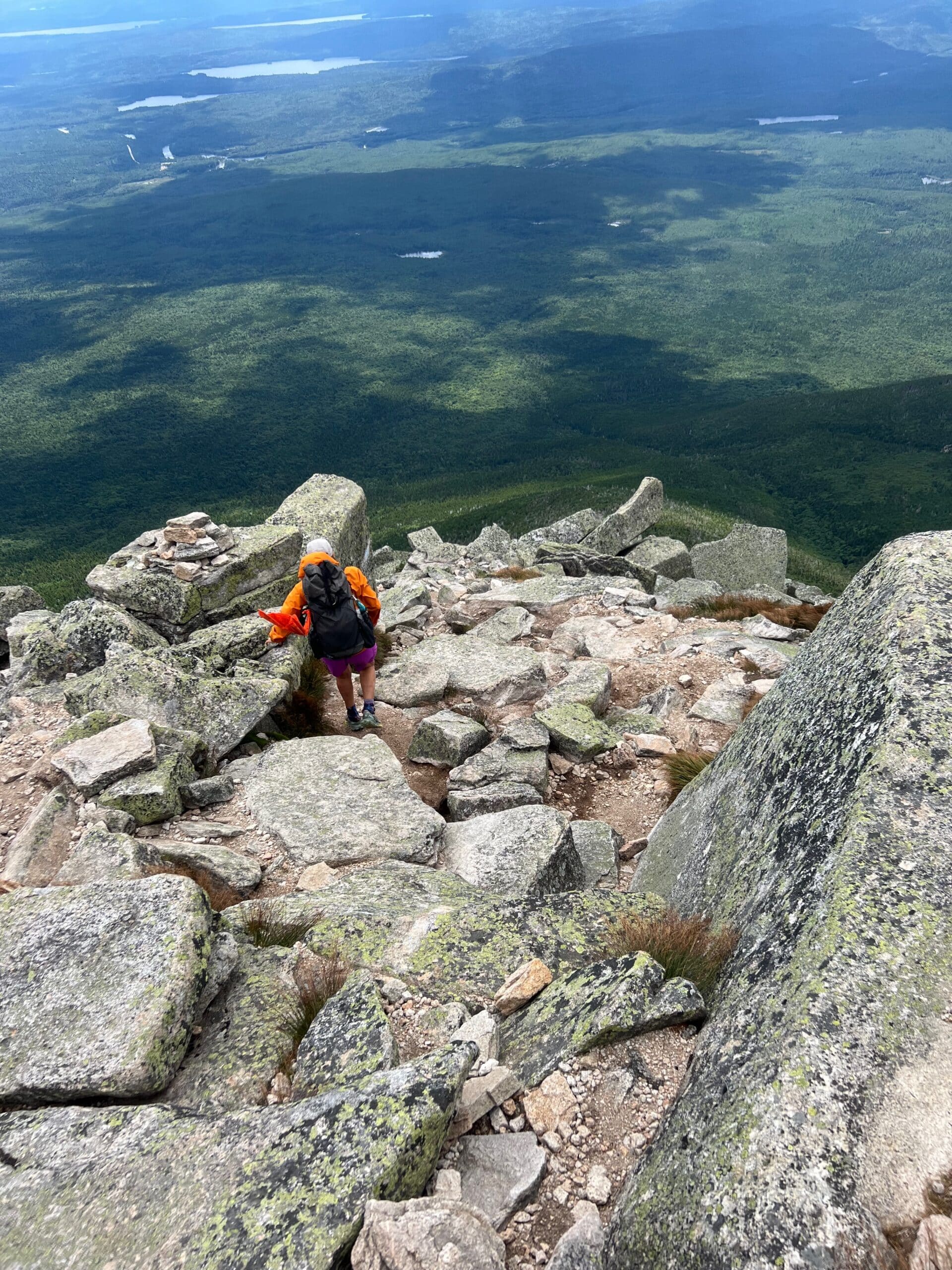
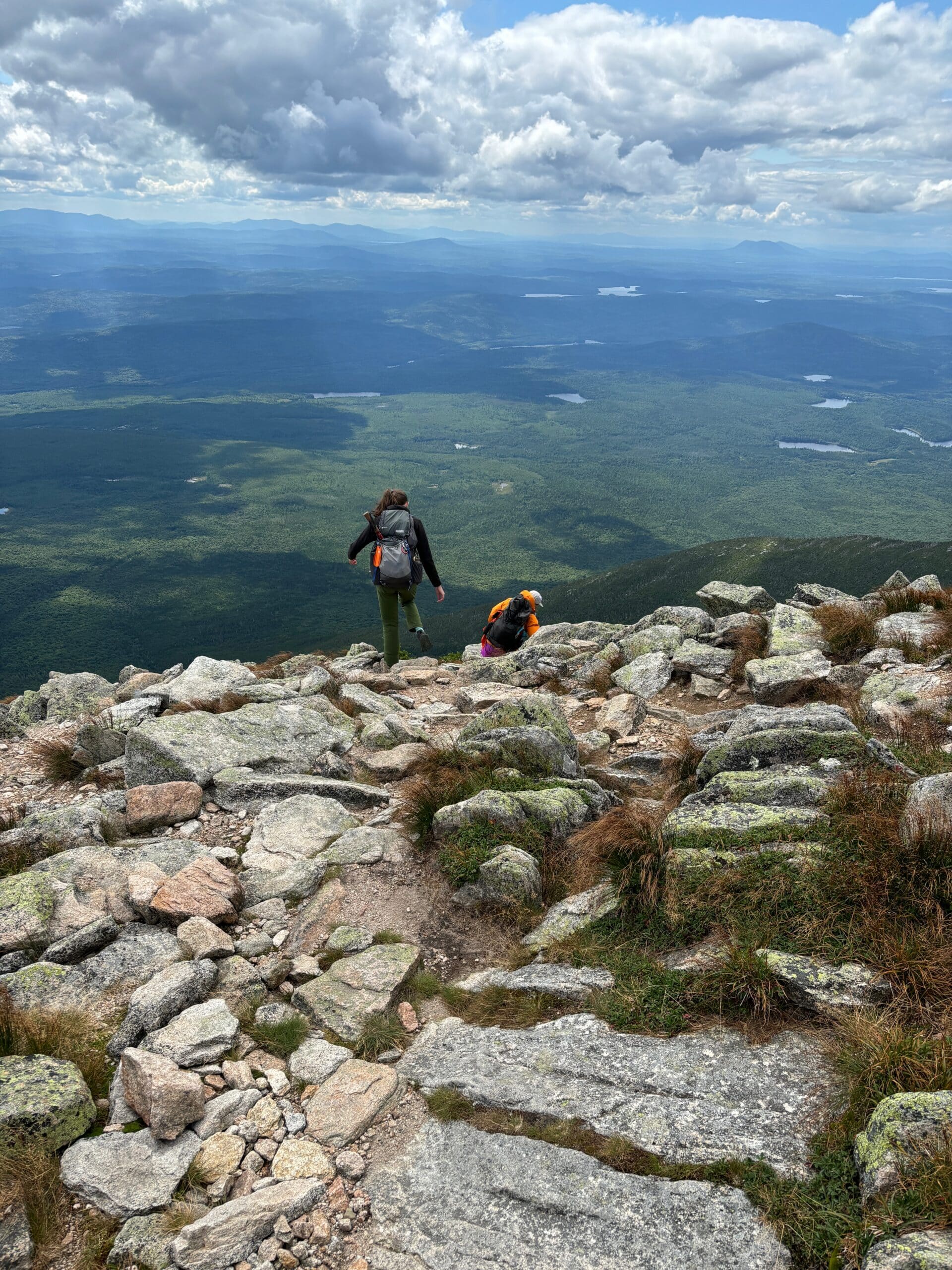
Truthfully, going down wasn’t as bad as I thought it would be — I pretty much butt slid my way down! We also took a different trail down — we came up what is known as the Hunt Trail, and went down the Abol Trail. I would do it the same way again.
Look at all those people way down there — hopefully it can give an appreciation of the steepness! It too took us about 5 more hours to get back down.
Part way up the climb I put my rain pants on just to protect my legs from having to crawl on the rocks while pulling myself up. I kept them on to go down as well to preserve burning a hole in my shorts from all the butt sliding! I also wore some little rubber gardening gloves that worked wonders in keeping a hold on the rocks — and protected my hands.
Just a “few” scrapes and bruises from climbing up the boulders before putting my rain pants on — this was just after 2/10th of a mile climb up!
So now I have officially completed all 2,200 miles of the Appalachian Trail! I can now check it off the bucket list! Thank you for your encouragement over the past 11 years and allowing me to share my journey with you. I am in the early stages of writing the book — probably a trilogy as 11 years is a long time to capture the full adventure in just one book! Blessings to you — “Kool 91”